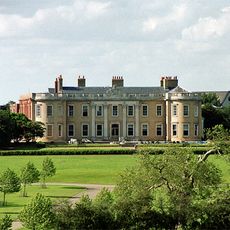
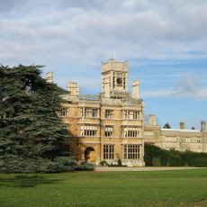
Eastcotts Castle, Medieval fortress in Eastcotts, England
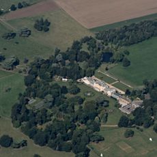
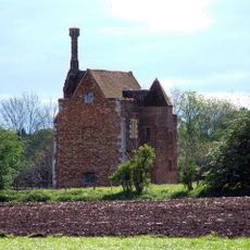
Eastcotts Castle is a medieval motte-and-bailey fortification with an elevated earthen mound that once held a wooden keep, surrounded by an enclosed defensive area with protective ditches. The entire site remains protected as a scheduled monument and shows the typical structure of Norman-era defensive architecture.
The castle was built after 1066 during the Norman Conquest and formed part of the rapid expansion of fortifications that the conquerors constructed to control and secure their newly won territories in England. These defensive structures helped the Normans consolidate their power and suppress potential resistance.
The castle's layout reveals medieval social order through its physical design, with the lord occupying the elevated motte while common people lived in the bailey below. This spatial division was typical of how Norman rulers organized their settlements in England.
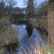
Visitors can view the preserved earthworks and mounds of the castle site, which clearly show the original structure and how people once moved through the space. It helps to have a basic understanding of motte-and-bailey castles before visiting so you can properly identify the different areas.
Its location near Bedford was strategically valuable because the fortress formed part of a network of castles that monitored trade routes and movement through central England. This network reveals how systematically the Normans organized their control using fortifications.
The community of curious travelers
AroundUs brings together thousands of curated places, local tips, and hidden gems, enriched daily by 60,000 contributors worldwide.