Eskdalemuir Observatory, Geomagnetic observatory in Dumfries and Galloway, Scotland.
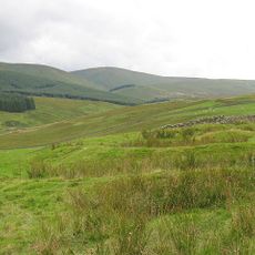
Eskdalemuir Observatory is a geomagnetic research station that sits on open moorland in southern Scotland, close to the White Esk river. It records changes in Earth's magnetic field, monitors seismic activity, and collects weather data using a range of scientific instruments spread across the site.
The station opened in 1904 after electric trams and power lines in London began interfering with magnetic measurements, prompting researchers to find a quieter location. The remoteness of the Scottish moorland made it the right choice for recording undisturbed data.
The name Eskdalemuir refers to the valley of the White Esk river and the open moorland surrounding it. The site is so remote that it draws researchers from across the world who need a place far from electrical noise to carry out their work.
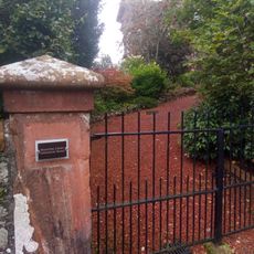
Access to the station requires advance permission from the operators, as the instruments and ongoing research need to be protected. The moorland around the site can become difficult to navigate in poor weather, so warm and waterproof clothing is a practical necessity.
The station uses specialized electrode pairs and high-frequency induction coils that can detect very fine shifts in the magnetic field, far below what standard instruments can capture. This rare combination of equipment makes the site a reference point for scientists studying small-scale variations in Earth's magnetism.
The community of curious travelers
AroundUs brings together thousands of curated places, local tips, and hidden gems, enriched daily by 60,000 contributors worldwide.