Dumfries and Galloway, Council area in southwestern Scotland.
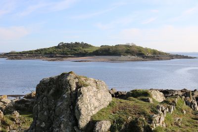
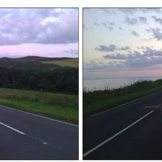
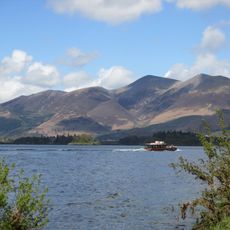
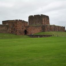
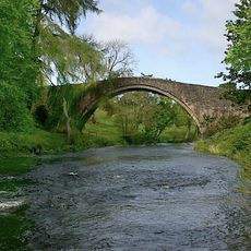
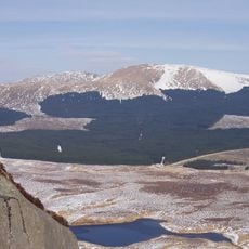
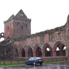
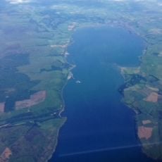
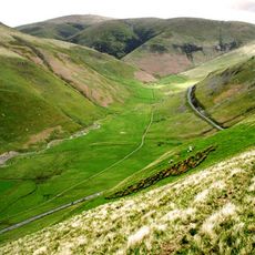
Dumfries and Galloway is a council area in southwestern Scotland with forested hills, open moorlands, and a long coastline along the Solway Firth and Irish Sea. The landscape shifts between gentle valleys in the east and rougher uplands in the north and west.
The council area formed through the merger of three historic counties. This reform created a larger regional unit to administer the southwestern territories of Scotland.
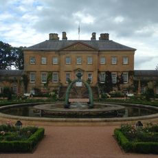
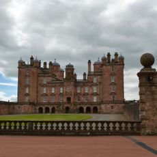
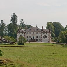
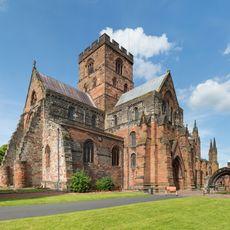
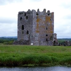
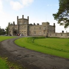
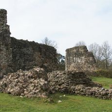
The council area takes its name from two historic counties and remains known for its traditional role in Scottish agriculture and livestock farming. Small settlements still show stone walls and cottages that reflect this rural heritage.
Buses link the larger towns to each other and to cities such as Glasgow, Edinburgh, and Carlisle. A railway line runs through the eastern part and offers further connections north and south.
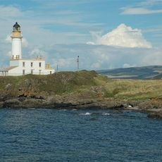
The Mull of Galloway lies on the Rhins peninsula and marks the southernmost point of mainland Scotland. Visitors reach a lighthouse there that has watched over the rocky coast for two centuries.
The community of curious travelers
AroundUs brings together thousands of curated places, local tips, and hidden gems, enriched daily by 60,000 contributors worldwide.