Fellbarrow, Mountain summit in Cumbria, United Kingdom
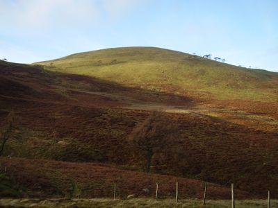
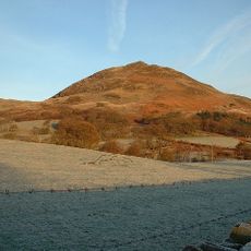
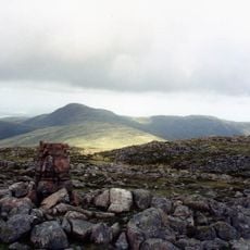
Fellbarrow is a mountain summit in Cumbria with a gently rounded, grass-covered dome topped by an Ordnance Survey marker column. The peak stands at 416 meters and offers straightforward walking routes suitable for various abilities.
The mountain was shaped by geological forces that deposited layers of sandstone, mudstone, and siltstone over millions of years. The Loweswater Formation rocks visible today have been part of the landscape for an extremely long time.
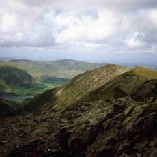
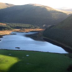
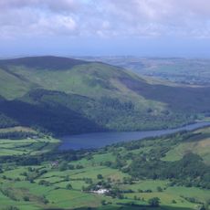
The summit attracts hikers who value the open hillside for outdoor exploration and nature watching activities. Its accessibility makes it a popular choice for people seeking straightforward mountain experiences.
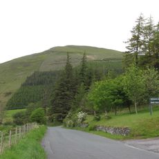
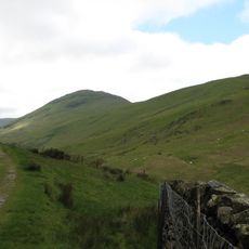
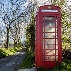
The summit is accessible from Low Lorton village via several clearly marked trails that pass near Hatteringill farm and follow the northeast ridge. The paths are straightforward to navigate and remain passable even during wet weather conditions.
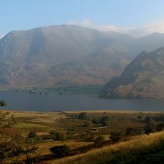
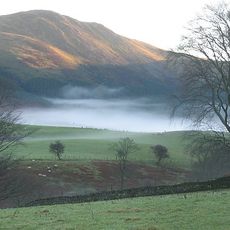
On clear days, the summit offers views across the Irish Sea toward the Solway Firth, with distant peaks like Skiddaw and Blencathra visible from above. This panorama spans a remarkable distance for such a modest elevation.
The community of curious travelers
AroundUs brings together thousands of curated places, local tips, and hidden gems, enriched daily by 60,000 contributors worldwide.