Blake Fell, Mountain summit in Cumbria, England
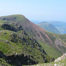
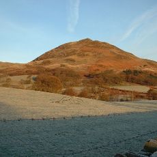
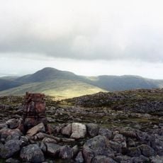
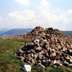
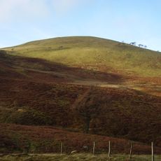
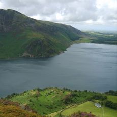
Blake Fell is a mountain in the Western Fells that rises to 573 meters, crowned by a grassy dome and a substantial cairn at its peak. The summit is equipped with a trig point and a mountain shelter situated just meters apart.
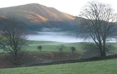
The mountain's slopes once hosted mining operations, with haematite extraction continuing on its flanks until 1914. Remnants of the Rowrah and Kelton Fell Line railway are still visible today, bearing witness to this industrial past.
The peak holds multiple classifications, including number 139 in Wainwright's list and ranks as the 56th highest Marilyn mountain in England.
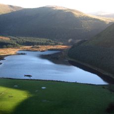
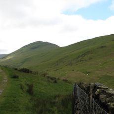
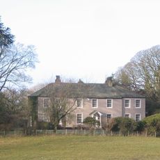
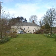
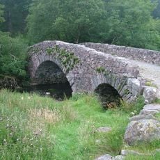
Several routes lead from Loweswater village to the summit, with the moderate trail from Maggie's Bridge taking roughly four to five hours. The paths are generally walkable but require proper gear and favorable weather conditions.
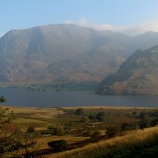
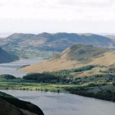
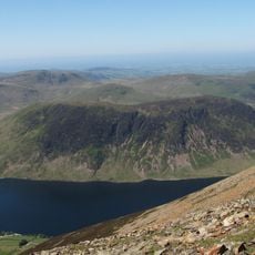
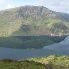
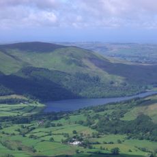
The summit offers expansive views across the surrounding landscape from every direction, with the mountain shelter positioned just meters from the trig point. This proximity of both structures is a practical and unusual arrangement on a fell of this size.
The community of curious travelers
AroundUs brings together thousands of curated places, local tips, and hidden gems, enriched daily by 60,000 contributors worldwide.