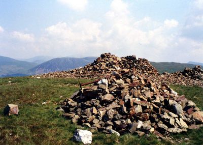
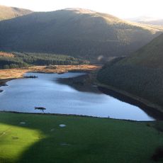
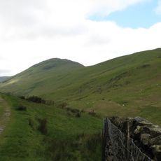
Grike, Summit in Lake District National Park, England
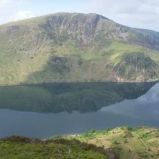
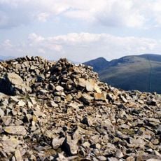
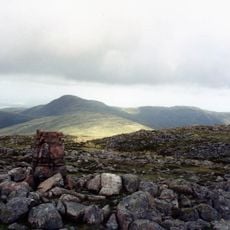
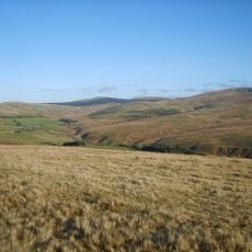
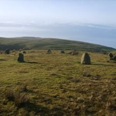
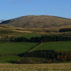
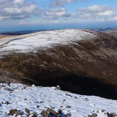
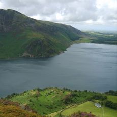
Grike is a summit in Cumbria reaching about 488 meters (1,600 feet) with distinctive limestone formations marked by vertical fissures created through water erosion. The open terrain provides views toward surrounding peaks and the Irish Sea on clear days.
The landscape at Grike took shape during the Carboniferous period when sedimentary rocks accumulated in shallow marine settings. Its distinctive fissured appearance developed over millions of years through repeated freeze-thaw cycles and water erosion.
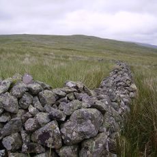
Local shepherds have utilized the natural limestone features around Grike for centuries to construct traditional dry stone walls that segment grazing areas.
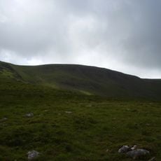
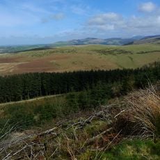
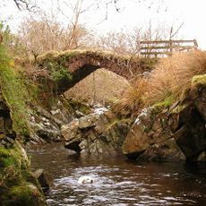
Access to the summit follows marked trails starting from Ennerdale Valley, though conditions underfoot vary with the season and can become challenging. Proper footwear and readiness for exposed mountain weather are advisable, especially near the open summit area.
The vertical cracks in the limestone pavement create small pockets where rare plants adapted to alkaline soil conditions grow in concentrated areas. These sparse zones support species that would be unusual to find elsewhere in the region and most visitors pass by without noticing.
The community of curious travelers
AroundUs brings together thousands of curated places, local tips, and hidden gems, enriched daily by 60,000 contributors worldwide.