Enable Location

We need your location to show you interesting places around you

Discover nearby places

Find interesting locations and hidden gems around you

Precise directions

Get accurate directions and distances to places

Your location is never shared with other users. It's only used when you tap the location button.

Iron Crag

Log in to your account

Start exploring — it's free

Trusted by 62,502 travelers worldwide

Continue with Google
Continue with Apple
or

We will send you a code to connect

By continuing, you accept our Terms and Conditions and our Privacy Policy

Check your inbox

We've sent a pincode in your inbox. Please enter the code below.

Iron Crag

Iron Crag, Mountain summit in Lake District, England.

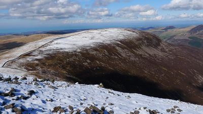
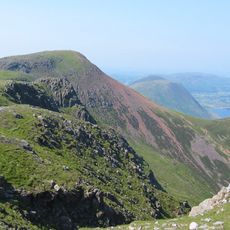
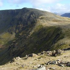
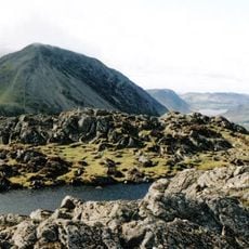
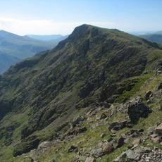
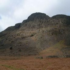
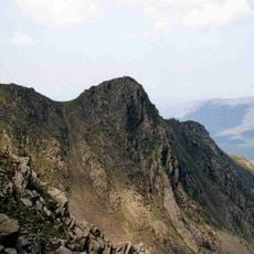
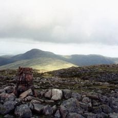
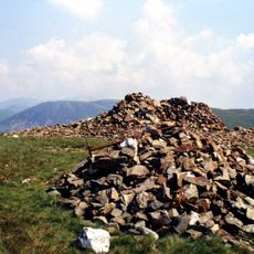
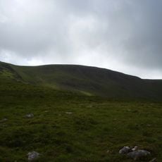
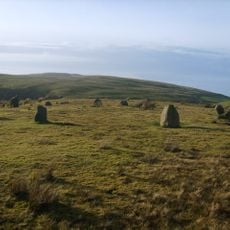
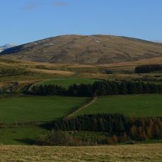
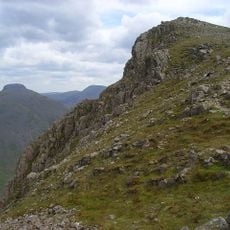
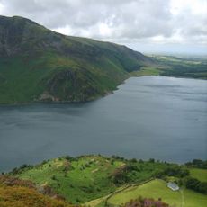
Iron Crag is a mountain summit reaching 640 meters in the Western Fells of the Lake District, marked by rocky outcrops and grass-covered slopes. The terrain shows the varied character of this upland region with different vegetation and exposed stone.

The summit became part of modern history in 1959 when a Royal Canadian Air Force Sabre Jet crashed near its peak during a training flight. The aircraft wreckage remains visible on the mountainside as a reminder of this Cold War era incident.

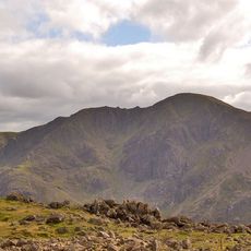
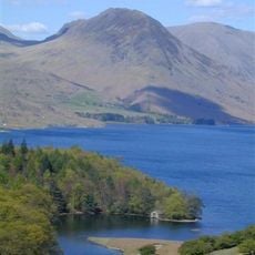
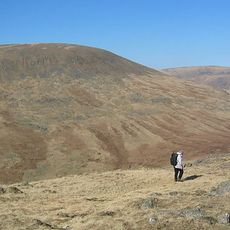
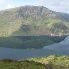
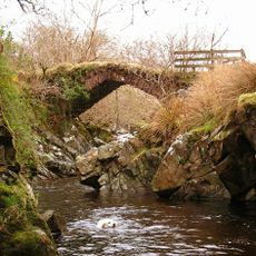
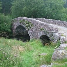
The mountain is part of the Lake District National Park and draws walkers who follow traditional routes through the western fells. These paths connect several peaks and reflect how people have moved through this landscape for generations.

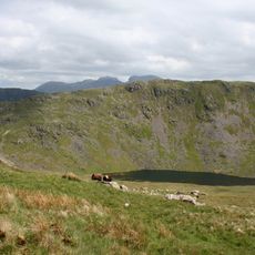
The mountain is accessible from Fell Road near Kinniside by heading east along Black Potts Road for a few kilometers. The route offers different access options depending on which walking path you choose.

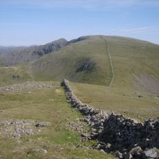
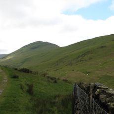
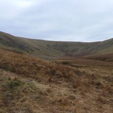
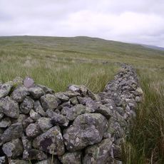
The Ennerdale Wall runs along the mountain ridge creating a sharp division between heather-covered northern slopes and grassy southern sides. This natural boundary creates a striking contrast in landscape and plant life across the summit.

The community of curious travelers

AroundUs brings together thousands of curated places, local tips, and hidden gems, enriched daily by 60,000 contributors worldwide.

Start exploring
Elevation above the sea
640 m
GPS coordinates
54.49502,-3.35513
Latest update
December 14, 2025 18:41
« Iron Crag - Mountain summit in Lake District, England » is provided by Around Us (aroundus.com). Images and texts are derived from Wikimedia project under a Creative Commons license. You are allowed to copy, distribute, and modify copies of this page, under the conditions set by the license, as long as this note is clearly visible.

Discover hidden gems everywhere you go!

From secret cafés to breathtaking viewpoints, skip the crowded tourist spots and find places that match your style. Our app makes it easy with voice search, smart filtering, route optimization, and insider tips from travelers worldwide. Download now for the complete mobile experience.

Around Us App Screenshot

A unique approach to discovering new places

Le Figaro

All the places worth exploring

France Info

A tailor-made excursion in just a few clicks

20 Minutes

Around Us
Travel Guide & Maps
Download

Send to your phone

QR Code
1

Open the camera app on your mobile.

2

Point at the QR code with your camera. A notification will appear.

3

Tap the notification to open the link.