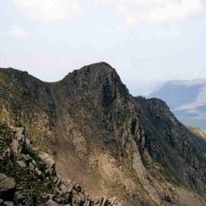
High Stile, Mountain summit in North West England, United Kingdom
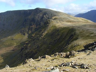
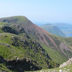
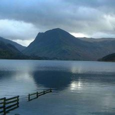
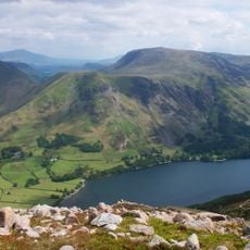
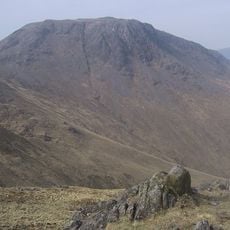
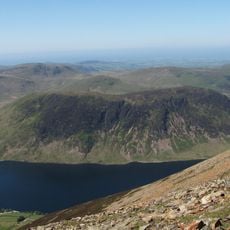
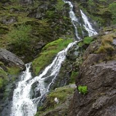
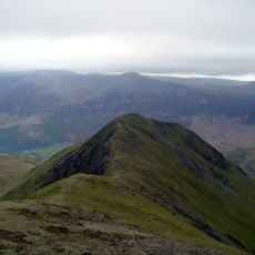
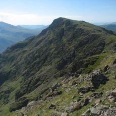
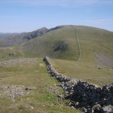
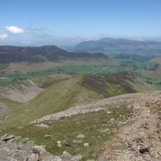
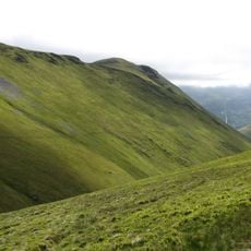
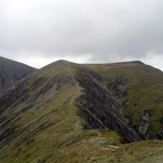
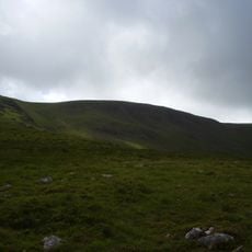
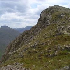
High Stile is a mountain summit situated between two large lakes in England's lake district, marked by walking routes and rocky slopes throughout its terrain. The surrounding area displays a pattern of steep hillsides, open moorland, and valley floors that shape how the peak stands within the broader landscape.
The peak formed as part of an ancient mountain range shaped by geological forces millions of years ago, creating the terrain that humans would later inhabit. Over time it served as a natural dividing line between farming and pastoral communities that developed their lands on both sides of its slopes.
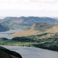
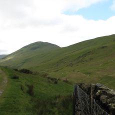
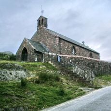
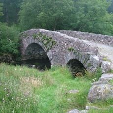
The mountain sits within valleys shaped by farming communities whose work is still visible in the walled fields and stone structures scattered across the slopes. Walkers who pass through these areas encounter a landscape that has long tied people to the land and its rhythms.
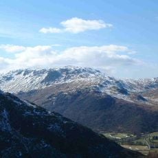
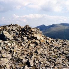
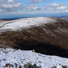
Reaching the summit requires sturdy hiking boots and is best done on days with clear visibility when conditions are safe for walking. Visitors should carry wind and weather-resistant gear since conditions at the top can change quickly and views can shift with passing clouds.
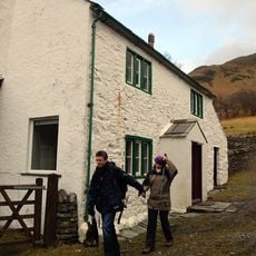
Below the summit sits Black Sail Hut, a small shelter located far from roads and villages that stands as one of the most remote lodging places for hikers in the country. This isolated spot draws walkers who seek the fullest solitude that the mountains can offer.
The community of curious travelers
AroundUs brings together thousands of curated places, local tips, and hidden gems, enriched daily by 60,000 contributors worldwide.