Enable Location

We need your location to show you interesting places around you

Discover nearby places

Find interesting locations and hidden gems around you

Precise directions

Get accurate directions and distances to places

Your location is never shared with other users. It's only used when you tap the location button.

High Crag

Log in to your account

Start exploring — it's free

Trusted by 62,832 travelers worldwide

Continue with Google
Continue with Apple
or

We will send you a code to connect

By continuing, you accept our Terms and Conditions and our Privacy Policy

Check your inbox

We've sent a pincode in your inbox. Please enter the code below.

High Crag

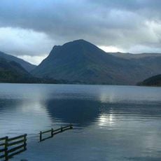
High Crag, Mountain summit in Lake District, England

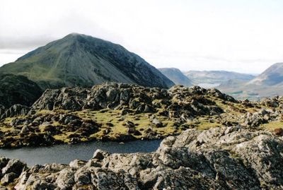
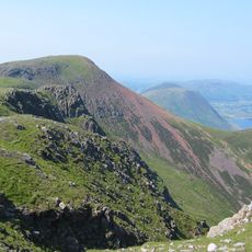
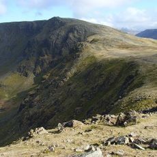
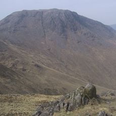
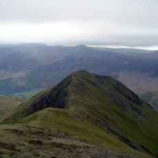
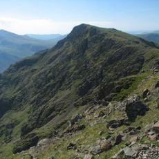
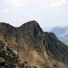
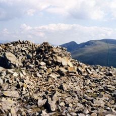
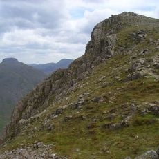
High Crag rises to 744 meters at the southern end of the High Stile ridge, dividing the valleys of Ennerdale and Buttermere in the western Lake District. The summit displays two distinct stone cairns, with the southern one marking the true peak.

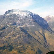
Mining operations occurred beneath Low Wax Knott during the late 1800s, where two miners lived in a hut until one experienced an unexplained death. This period of extraction shaped the landscape and history of these uplands.

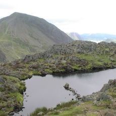
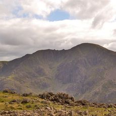
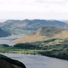
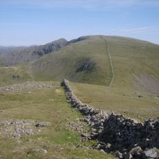
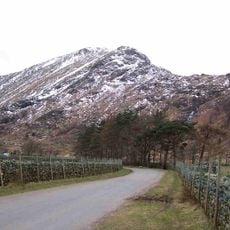
The High Stile ridge that includes this summit forms part of traditional fell walking routes shaped by generations of climbers in the Lake District. Visitors today walk the same paths that mountain enthusiasts have used for many decades.

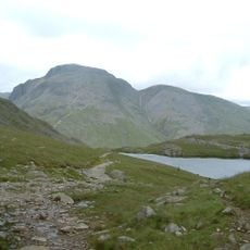
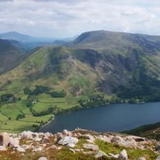
Hikers can reach this summit via the Scarth Gap path from Gatesgarth parking area or through an alternative route starting at Black Sail youth hostel. The ascent is demanding and requires good preparation with suitable equipment for mountain conditions.

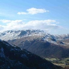
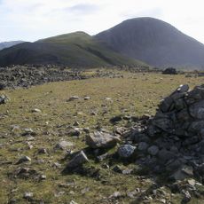
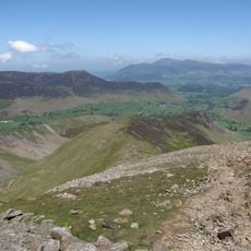
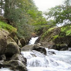
Below the summit, Gamlin End features substantial scree slopes formed through millennia of weathering and erosion. These loose stone and rocky flanks reveal the ongoing geological processes shaping these uplands.

The community of curious travelers

AroundUs brings together thousands of curated places, local tips, and hidden gems, enriched daily by 60,000 contributors worldwide.

Start exploring
Location
Elevation above the sea
744 m
GPS coordinates
54.51461,-3.26740
Latest update
December 12, 2025 17:43
« High Crag - Mountain summit in Lake District, England » is provided by Around Us (aroundus.com). Images and texts are derived from Wikimedia project under a Creative Commons license. You are allowed to copy, distribute, and modify copies of this page, under the conditions set by the license, as long as this note is clearly visible.

Discover hidden gems everywhere you go!

From secret cafés to breathtaking viewpoints, skip the crowded tourist spots and find places that match your style. Our app makes it easy with voice search, smart filtering, route optimization, and insider tips from travelers worldwide. Download now for the complete mobile experience.

Around Us App Screenshot

A unique approach to discovering new places

Le Figaro

All the places worth exploring

France Info

A tailor-made excursion in just a few clicks

20 Minutes

Around Us
Travel Guide & Maps
Download

Send to your phone

QR Code
1

Open the camera app on your mobile.

2

Point at the QR code with your camera. A notification will appear.

3

Tap the notification to open the link.