Brandreth, Mountain summit in Lake District, England
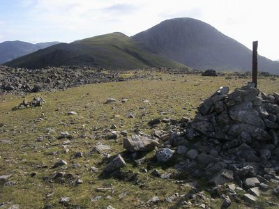
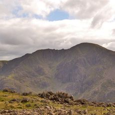
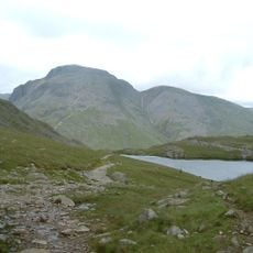
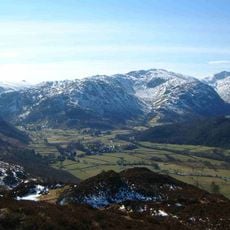
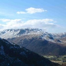
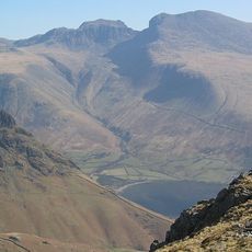
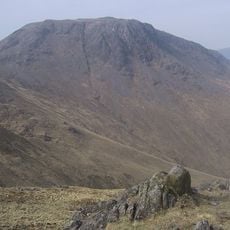
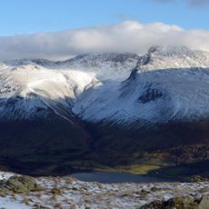
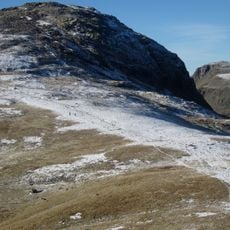
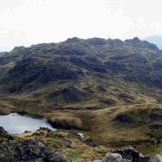
Brandreth is a mountain summit in the Western Fells that rises to 715 meters between Great Gable and Haystacks, connected by three distinct ridges that form a triangular shape. The peak sits within a landscape of exposed rock and moorland, typical of the higher ground in this part of the Lake District.
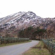
The northern slope contains Dubs Quarry, an abandoned slate extraction site that represents the industrial mining activities of past centuries in this area. The quarry remains visible today as a reminder of how mining shaped the landscape and economy of the Lake District region.
The mountain forms part of multiple recognized climbing challenges including Wainwrights, Nuttalls, Hewitts, and the Bob Graham Round mountaineering circuit.
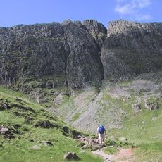
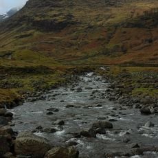
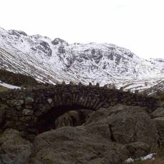
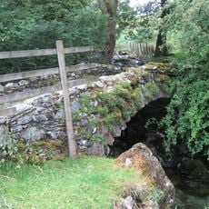
Hikers access the summit through well-marked trails from Honister Pass, with alternative routes starting from Gatesgarth along Warnscale Beck or through Borrowdale valley. The approaches are established and regularly used, making navigation straightforward during daylight hours.
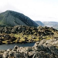
The summit is marked by multiple cairns, with the main one positioned at a fence junction and additional rock formations scattered at different distances around the peak. These markers help visitors confirm they have reached the highest point and serve as waymarking features.
The community of curious travelers
AroundUs brings together thousands of curated places, local tips, and hidden gems, enriched daily by 60,000 contributors worldwide.