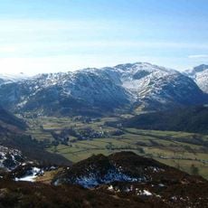
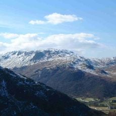
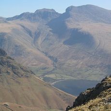
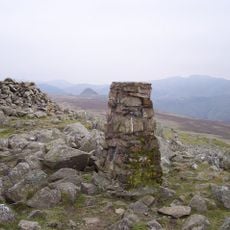
Rosthwaite Fell, Mountain summit in Lake District National Park, England
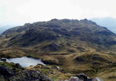
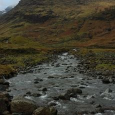
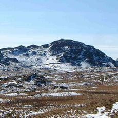
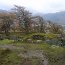
Rosthwaite Fell is a 612-meter summit with two distinct peaks, Rosthwaite Cam and Bessyboot, separated by a small mountain lake called Tarn at Leaves. The mountain displays varied rock formations and sits within the wider Lake District landscape.
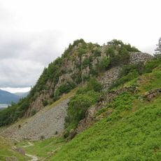
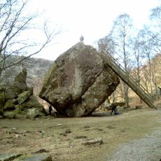
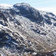
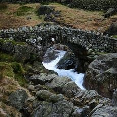
This mountain formed through volcanic activity approximately 460 million years ago, leaving behind complex rock layers that remain visible today. The geological forces that shaped it continue to define the mountain's appearance.
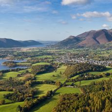
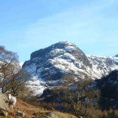
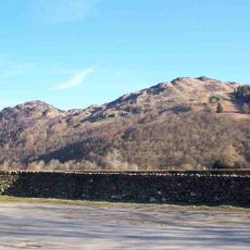
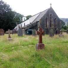
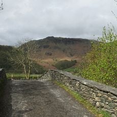
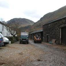
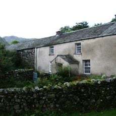
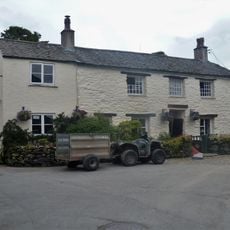
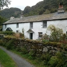
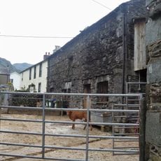
Sheep farming has shaped this landscape for generations, with flocks still grazing on the open hillsides today. The rolling grasslands you see reflect centuries of pastoral management that defines this part of England.
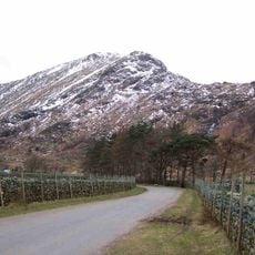
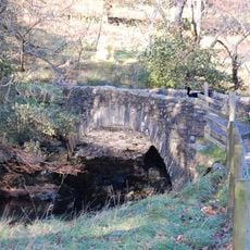
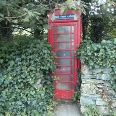
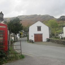
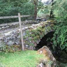
You can reach the summit via two main routes, one starting from Stonethwaite through Stanger Gill and another from the road between Seatoller and Rosthwaite. Both paths offer different terrain and take varying amounts of time to complete.
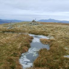
The mountain gained protection as a Site of Special Scientific Interest in 1985, primarily because of its extensive volcanic rock formations spread across the area. This geological diversity makes it particularly valuable for researchers studying ancient Earth processes.
The community of curious travelers
AroundUs brings together thousands of curated places, local tips, and hidden gems, enriched daily by 60,000 contributors worldwide.