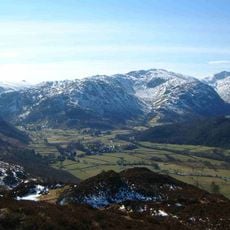
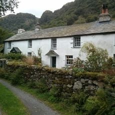
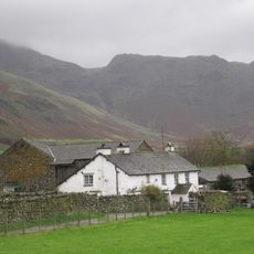
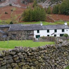
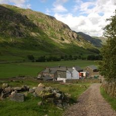
High Raise, Mountain summit in Central Fells, Lake District, United Kingdom.
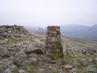
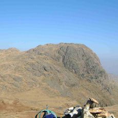
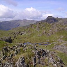
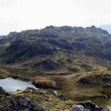
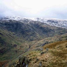
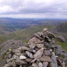
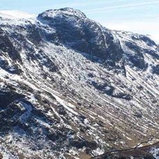
High Raise is a mountain summit in the Central Fells of the Lake District in England, and it sits among the higher ground in this group of fells. The top is marked by a natural rock outcrop located slightly southeast of the survey point.
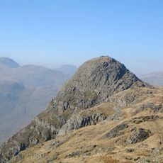
The summit gained wide recognition in the 20th century through Alfred Wainwright's handwritten walking guides, which described it as one of the Lake District's notable fells. This helped establish fell walking as a recognized tradition in the region.
High Raise is part of the Wainwright Fells, a collection of summits described by walking writer Alfred Wainwright in his handwritten guides. Many visitors come here specifically to tick it off their list, a habit known locally as Wainwright bagging.
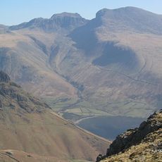
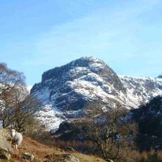
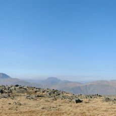
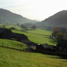
The ascent requires good navigation skills, and carrying a detailed walking map of the area is strongly recommended. Conditions at the top can turn harsh quickly, so wearing suitable gear and checking the weather before setting out makes a real difference.
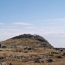
Although the name suggests a single clear high point, the actual top is less obvious than expected, and many walkers pass the survey point without realizing the rocky outcrop nearby is the true summit marker. Looking closely at both spots side by side makes the distinction clear.
The community of curious travelers
AroundUs brings together thousands of curated places, local tips, and hidden gems, enriched daily by 60,000 contributors worldwide.