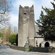
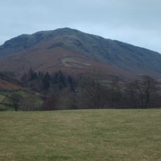
Blea Rigg, Mountain summit in Lake District, Cumbria, England.
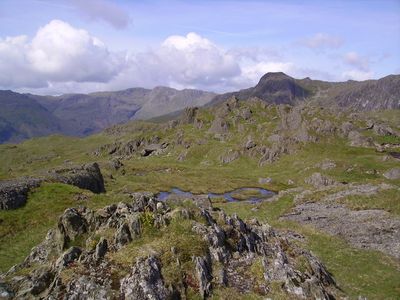
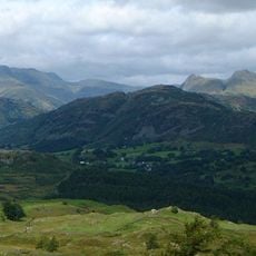
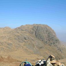
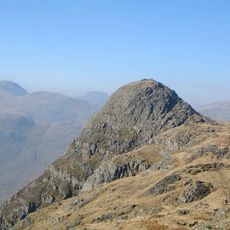
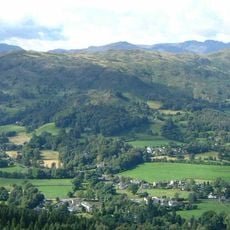
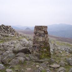
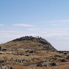
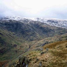
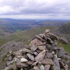
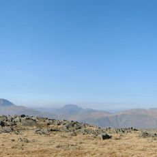
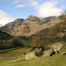
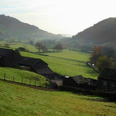
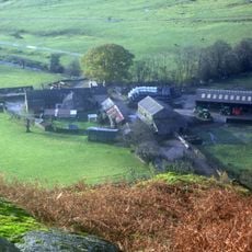
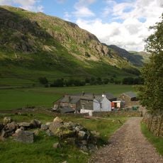
Blea Rigg is a mountain in the Lake District with a broad sandstone plateau scattered with rocky outcrops and small mountain pools. The summit sits between two major valleys and offers sweeping views across the surrounding peaks and lowlands.
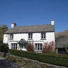
The mountain once hosted a stone refreshment shelter on its slopes that served hikers before the Second World War. This structure reflects the long history of the region as a walking destination in the central fells.
The mountain forms part of both the Birkett Hills and Wainwright Hills collections, two classification systems documenting Lake District peaks.
Multiple starting points for ascent exist from nearby villages like Grasmere and Great Langdale, but the area demands careful navigation due to unmarked paths. Weather can change quickly on the exposed plateau, making a map and compass or GPS essential for safe travel.
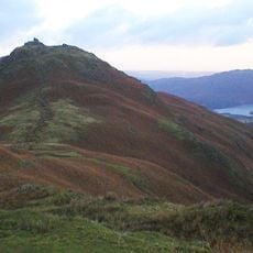
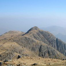
The mountain features an unusual L-shaped formation created by a long eastern ridge extending from the main summit area. This ridge connects several distinct rocky points and offers a distinctive walking route that stands apart from the rounder profiles of neighboring peaks.
The community of curious travelers
AroundUs brings together thousands of curated places, local tips, and hidden gems, enriched daily by 60,000 contributors worldwide.