Lingmoor Fell, Mountain summit in Lake District, United Kingdom.
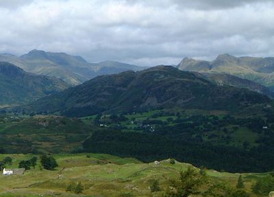
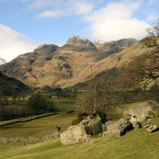
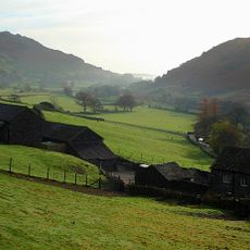
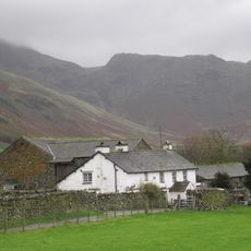
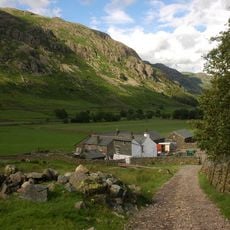
Lingmoor Fell is a 469 meter summit sitting between Great Langdale and Little Langdale valleys, with steep sides covered by woodland and heather moorland. The mountain rises distinctly from both valley floors, offering views across to neighboring peaks.
The name originates from Old Norse settlers who described the abundant heather using the word 'lyng'. This linguistic trace reflects early Scandinavian influence on how the land was named.
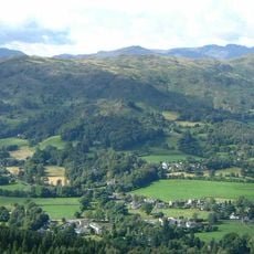
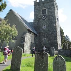
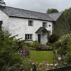
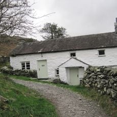
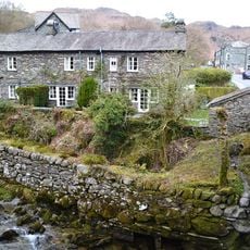
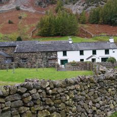
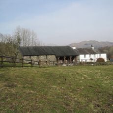
This fell is part of the Lake District, a UNESCO World Heritage site valued by visitors for its natural character shaped by centuries of pastoral use. The landscape reflects how local farming traditions have maintained these open moorlands.
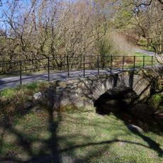
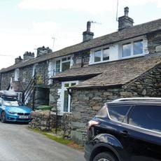
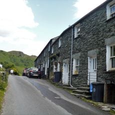
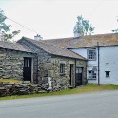
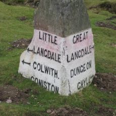
Start early in the day from Elterwater in Great Langdale or from the Blea Tarn car park in Little Langdale, both with established routes up the mountainside. Weather changes quickly at this height, so bring waterproof clothing even on clear mornings.
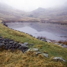
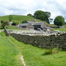
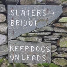
A continuous dry stone wall known as The Great Wall of Lingmoor runs along the entire ridge of the mountain. This old structure originally marked boundaries for local farms and remains a surprisingly well-preserved feature along the path.
Location: Cumbria
Elevation above the sea: 469 m
GPS coordinates: 54.43206,-3.07642
Latest update: December 10, 2025 15:56
Lake District National Park
2.5 km
Slater's Bridge
1.9 km
Three Shire Stone
3.1 km
Silver How
3 km
Britannia Inn
2.5 km
Elterwater Bridge
2.5 km
Langdale Boulders
1.7 km
Greenburn Reservoir
3 km
Church of the Holy Trinity
2 km
Pierce How Bridge
2.3 km
Millbeck Farmhouse With Attached Farm Building
2.2 km
Low Hall Garth
1.9 km
Three Shires Inn
1.8 km
High Hall Garth
1.9 km
Wall End Farmhouse With Barns To South East And North
2.2 km
Bridge Syke
2.5 km
Premises Occupied By Bowness
2.5 km
1-6, Main Street
2.6 km
1-7, Mill Street
2.6 km
Middlefell Place Farmhouse Shippons Attached To Middlefell Place Farmhouse
2.3 km
Stool End Farmhouse, Barn To South East Of Farmhouse And Barn To North East Of Farmhouse
2.9 km
Low Colwith With Attached Farm Buildings
3.1 km
Birk Howe Farmhouse
1.7 km
High Colwith
3.1 km
Greenend
2.5 km
Becksteps
2.5 km
Guidestone, Elterwater Green, jct in village
2.9 km
Guidestone, Little Langdale
1.7 kmVisited this place? Tap the stars to rate it and share your experience / photos with the community! Try now! You can cancel it anytime.
Discover hidden gems everywhere you go!
From secret cafés to breathtaking viewpoints, skip the crowded tourist spots and find places that match your style. Our app makes it easy with voice search, smart filtering, route optimization, and insider tips from travelers worldwide. Download now for the complete mobile experience.
A unique approach to discovering new places❞
— Le Figaro
All the places worth exploring❞
— France Info
A tailor-made excursion in just a few clicks❞
— 20 Minutes