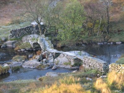
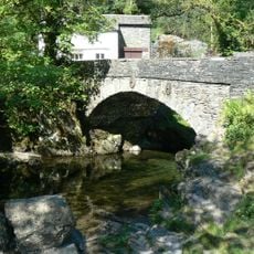
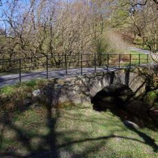
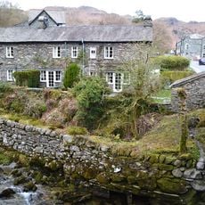
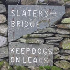
Slater's Bridge, Packhorse bridge in Little Langdale, England.
Slater's Bridge is a stone arch crossing the River Brathay in Little Langdale, built with a segmental vault that carries traffic smoothly across. The structure incorporates a natural boulder in the streambed as part of its main support system, demonstrating how builders adapted to the landscape rather than reshaping it.
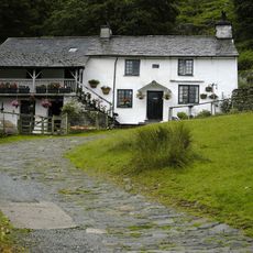
The bridge was built in the 17th century to support slate quarrying operations by enabling the movement of materials from mines in Coniston and Tilberthwaite. Its construction reflected the economic importance of these mining areas and the need for reliable routes to transport goods to distant markets.
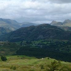
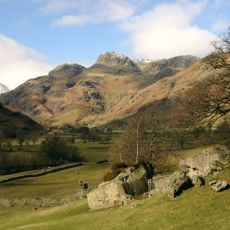
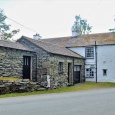
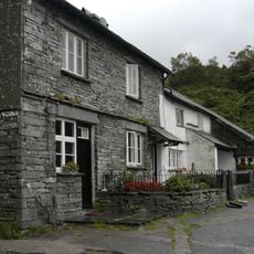
The bridge served as a vital connection for people moving between settlements and workplaces across the region. It remains a focal point in this remote river valley, reflecting the long tradition of local trade and community movement that shaped the landscape.
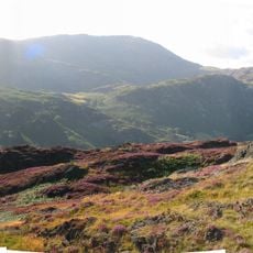
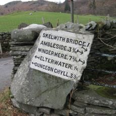
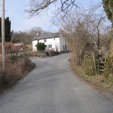
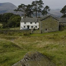
You reach the bridge by following marked walking paths from the Three Shires Inn, which are clearly signed along the way. The location is in open countryside without road access, so sturdy walking boots and map reading skills help you navigate the terrain safely.
The bridge incorporates a large natural boulder from the riverbed as a central support element, an ingenious approach for its time. This practical solution shows how 17th century builders used existing natural features rather than reshaping the environment to fit their design.
The community of curious travelers
AroundUs brings together thousands of curated places, local tips, and hidden gems, enriched daily by 60,000 contributors worldwide.