Coniston, village and civil parish in Cumbria, England, UK
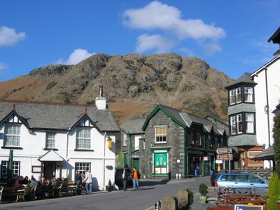
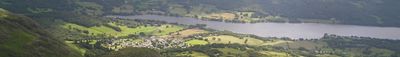
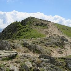
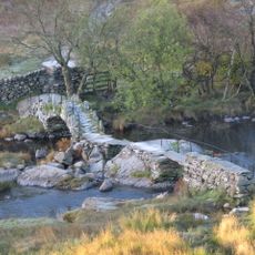
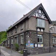
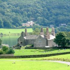
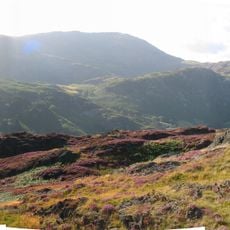
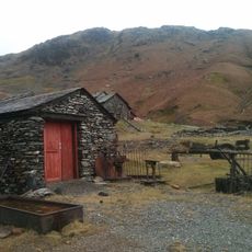
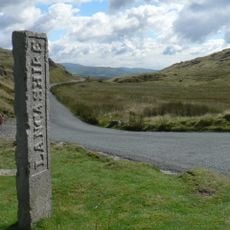
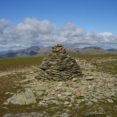
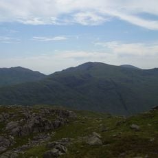
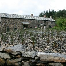
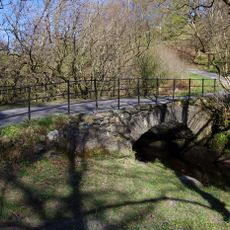
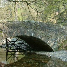
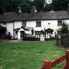
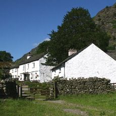
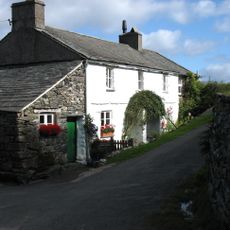
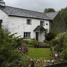
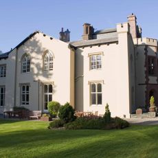
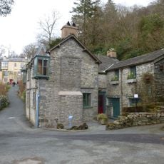
Coniston is a village in South Lakeland, in the northwestern corner of England, sitting at the edge of a long, narrow lake of the same name. The settlement is built largely from local stone and connects directly to walking routes that lead up into the surrounding fells.
Coniston grew as a farming settlement for centuries, then expanded in the 1800s when slate quarrying brought workers and industry to the area. Around the same time, the arrival of tourists drawn to the lakes and fells began shaping its character in a different direction.
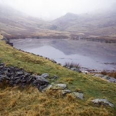
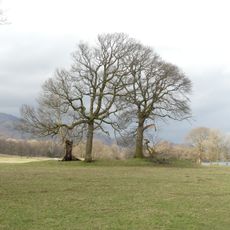
The lake at the edge of the village gives the place much of its character, drawing walkers, kayakers, and boat users throughout the day. On warmer days, the waterfront becomes a natural meeting point where local life and visitor activity mix openly.
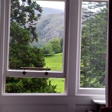
The village is easy to explore on foot, with paths connecting the centre directly to the lake and to the higher ground above. Parking fills quickly on summer weekends, so arriving early in the day makes a real difference.
The lake beside the village was used repeatedly in the 1950s and 1960s as the setting for motorboat speed record attempts. One of those attempts ended in a fatal crash that became one of the most remembered moments in British motorsport history.
The community of curious travelers
AroundUs brings together thousands of curated places, local tips, and hidden gems, enriched daily by 60,000 contributors worldwide.