Brim Fell, Mountain summit in Lake District, England
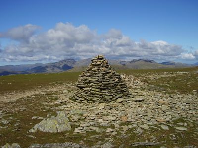
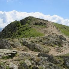
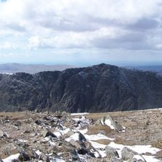
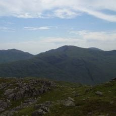
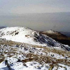
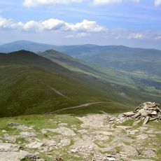
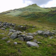
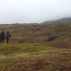
Brim Fell is a summit in the Coniston range standing at approximately 800 meters with exposed rock formations visible across its slopes. From the top, hikers see across surrounding valleys and neighboring peaks in an open mountain landscape.
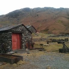
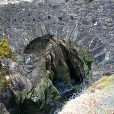
The mountain formed as part of the Lake District's geological history and contributed to local mining activity in the 19th century. Copper extraction on the slopes reached its peak during the 1850s and left behind shafts and tunnels still visible today.
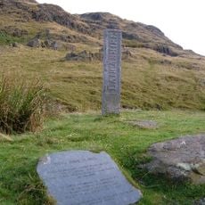
Alfred Wainwright documented this summit in his famous Pictorial Guide to the Lakeland Fells series, making the mountain known to hikers worldwide. The fell remains closely tied to local walking traditions and attracts visitors who follow Wainwright's classic routes.
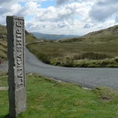
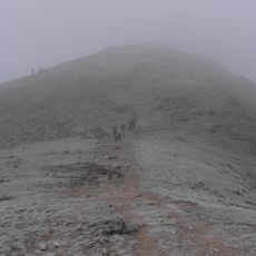
The ascent connects to several linked walking paths offering different route options from Coniston village or neighboring summits. Hikers should wear sturdy footwear as the terrain becomes rocky and weather conditions at altitude can change quickly.
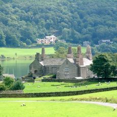
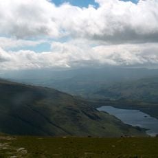
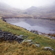
On the western slopes lies Seathwaite Tarn, a mountain lake that was enlarged through damming in the early 1900s to supply drinking water to the industrial town of Barrow-in-Furness. This project connected the remote mountain landscape to the region's urban development.
The community of curious travelers
AroundUs brings together thousands of curated places, local tips, and hidden gems, enriched daily by 60,000 contributors worldwide.