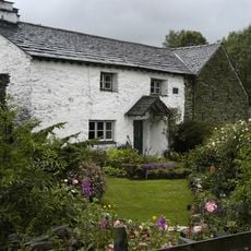
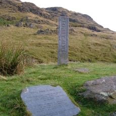
Three Shire Stone, Boundary marker at Wrynose Pass, Lake District National Park, England.
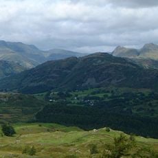
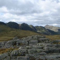
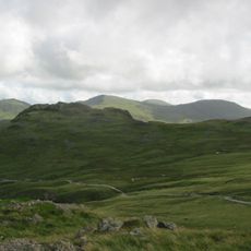
The Three Shire Stone is a limestone boundary marker at the summit of Wrynose Pass in Lake District National Park, marking the intersection point of Lancashire, Cumberland, and Westmorland at 393 meters elevation. The monument stands at a junction where three historic counties meet.
William Field, the Furness Roadmaster, commissioned this limestone stone from a Cartmel quarry in 1816, though it remained uninstalled until 1860 after his death. The long delay between creation and installation shows the complexity of boundary marking in this mountain region.
The stone displays "Lancashire" on its front face and includes the initials "WF" with the date 1816 on the reverse, which reflect local administrative heritage. These markings tell the story of who commissioned the monument and document its origins.
The stone sits at an easily accessible point where the National Trust has provided a designated parking area right next to the monument. From here, visitors can comfortably explore the surrounding mountain paths and take in views across the three counties.
In 1997, the stone fractured into four pieces after a vehicle struck it, drawing significant attention to its fate. Stonemason Gordon Greaves restored the monument and added extra county initials to make it more durable.
The community of curious travelers
AroundUs brings together thousands of curated places, local tips, and hidden gems, enriched daily by 60,000 contributors worldwide.