Pike of Stickle, Mountain summit in Lake District, England
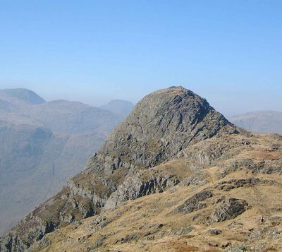
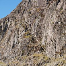
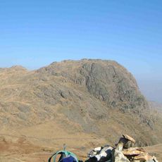
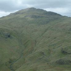
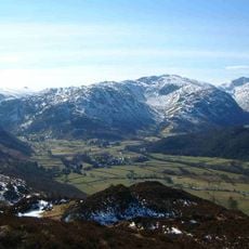
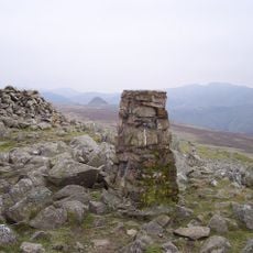
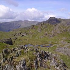
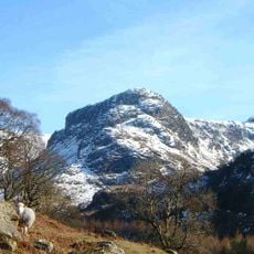
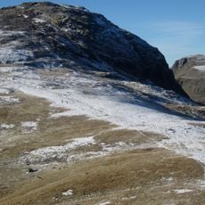
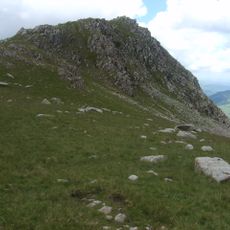
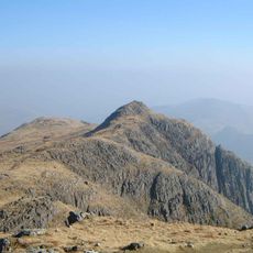
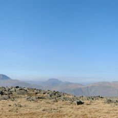
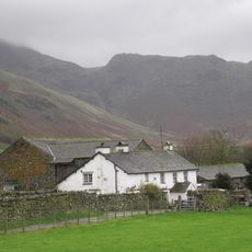
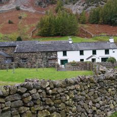
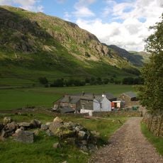
Pike of Stickle is a mountain summit in the Lake District reaching 709 meters and forms part of the Langdale Pikes group with Harrison Stickle and Loft Crag nearby. The rock formations are dark and rocky with steep slopes that rise sharply above the surrounding valleys.
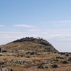
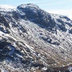
The mountain served as a major neolithic stone axe production site in Europe, with archaeological evidence of manufacturing activities found near the summit cave. This cave shows traces of intensive human activity from that ancient period.
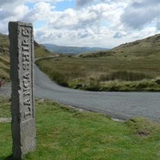
The name combines two geographical terms: 'stickle' referring to a hill with a steep rocky top and 'pike' indicating a peaked summit. This naming reflects how the local landscape and geology shaped the way people here described their hills.
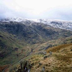
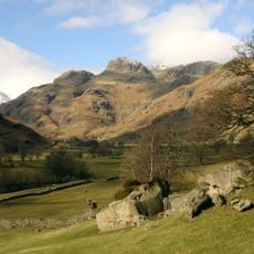
Hikers can begin their ascent from Great Langdale, following the trail between Thorn Crag and Gimmer Crag toward the summit. The path is fairly well-marked, though sections become steep and require a good sense of balance and careful footing.
The summit cave on the mountainside is not easy to reach but attracts visitors interested in exploring the archaeological history. Access requires scrambling skills and should only be attempted by experienced hikers.
The community of curious travelers
AroundUs brings together thousands of curated places, local tips, and hidden gems, enriched daily by 60,000 contributors worldwide.