Enable Location

We need your location to show you interesting places around you

Discover nearby places

Find interesting locations and hidden gems around you

Precise directions

Get accurate directions and distances to places

Your location is never shared with other users. It's only used when you tap the location button.

Bowfell

Log in to your account

Start exploring — it's free

Trusted by 65,452 travelers worldwide

Continue with Google
Continue with Apple
or

We will send you a code to connect

By continuing, you accept our Terms and Conditions and our Privacy Policy

Check your inbox

We've sent a pincode in your inbox. Please enter the code below.

Bowfell
Discussion Reviews 1 Photos
8.5k Popularity

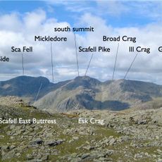
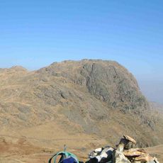
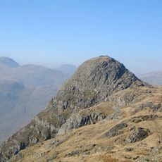
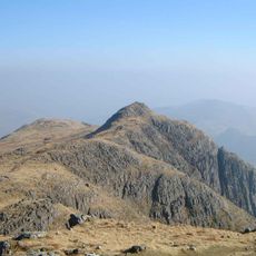
Bowfell, Mountain summit in Eskdale, England

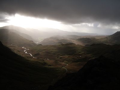
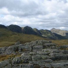
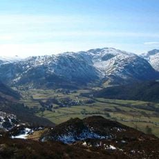
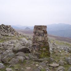
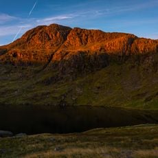
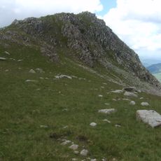
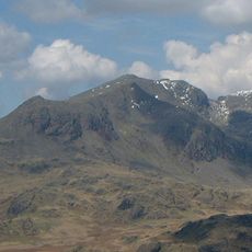
Bowfell is a mountain summit in the Lake District, rising in a rough pyramid shape above the surrounding valleys of Eskdale, Langdale and Borrowdale. Its flanks are covered in steep crags and loose rock, while the top opens into a broad, flat area where several ridges meet.

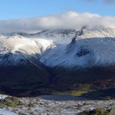
Alfred Wainwright placed Bowfell among the six finest mountains in the Lake District in his famous walking guides, bringing it wide attention. His books shaped the way generations of walkers came to know and seek out this part of the fells.

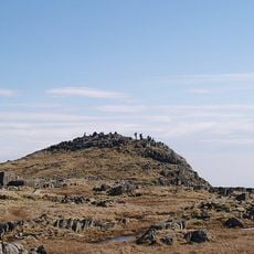
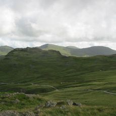
The summit marks a natural junction where three valleys meet, creating a landmark that shapes how people experience this part of the Lake District. For hikers and climbers, it functions as a key reference point that draws visitors seeking to explore the region's mountain terrain.

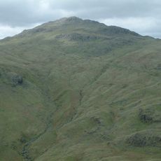
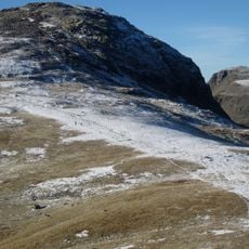
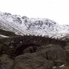
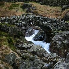
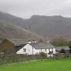
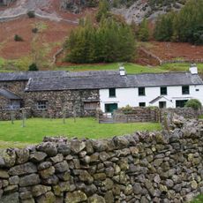
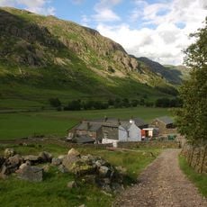
The most used approach follows The Band, a long ridge that starts from Stool End Farm in the Langdale valley and offers a steady climb to the top. Other routes exist from different valleys, so it is worth checking conditions and your own experience level before setting out.

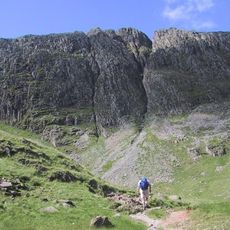
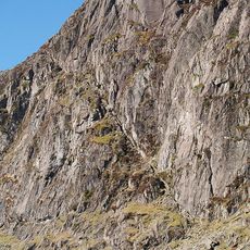
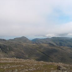
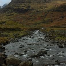
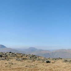
Near the top lies the Great Slab, a wide sheet of volcanic rock that tilts out of the hillside and draws climbers to its surface. Close by, a path called the Climber's Traverse passes through the River of Boulders, a long stretch of tumbled rock that has to be crossed on foot.

The community of curious travelers

AroundUs brings together thousands of curated places, local tips, and hidden gems, enriched daily by 60,000 contributors worldwide.

Start exploring
Location
Location
Elevation above the sea
902 m
GPS coordinates
54.44777,-3.16626
Latest update
March 3, 2026 10:11
Reviews
Share your experience

No review yet

Discussions
Start a discussion...

No discussion yet

« Bowfell - Mountain summit in Eskdale, England » is provided by Around Us (aroundus.com). Images and texts are derived from Wikimedia project under a Creative Commons license. You are allowed to copy, distribute, and modify copies of this page, under the conditions set by the license, as long as this note is clearly visible.

Discover hidden gems everywhere you go!

From secret cafés to breathtaking viewpoints, skip the crowded tourist spots and find places that match your style. Our app makes it easy with voice search, smart filtering, route optimization, and insider tips from travelers worldwide. Download now for the complete mobile experience.

Around Us App Screenshot

A unique approach to discovering new places

Le Figaro

All the places worth exploring

France Info

A tailor-made excursion in just a few clicks

20 Minutes

Around Us
Travel Guide & Maps
Download

Send to your phone

QR Code
1

Open the camera app on your mobile.

2

Point at the QR code with your camera. A notification will appear.

3

Tap the notification to open the link.