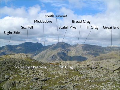
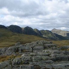
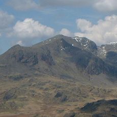
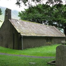
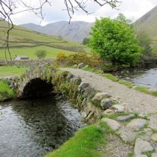
Sca Fell, Mountain summit in Lake District, England
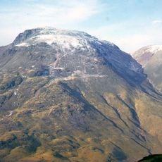
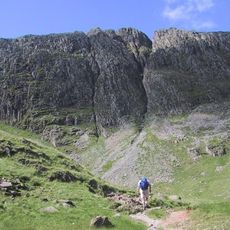
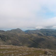
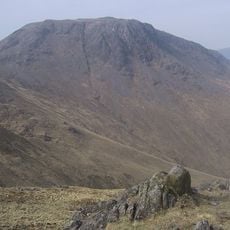
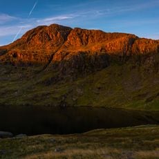
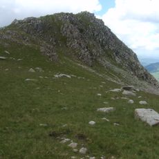
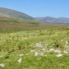
Sca Fell is a 964 meter mountain summit with steep northern faces and large eastern crags rising above the Eskdale valley. The rock walls on the eastern side define the landscape of this mountain region in the Lake District.
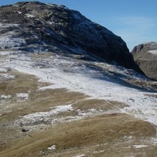
The mountain's name changed over time and appeared in older documents as Scawfell until the Ordnance Survey standardized it in 1920. This naming adjustment was part of Britain's systematic mapping effort in the early 20th century.
Climbing routes on the eastern face are documented in British mountaineering literature and shape how climbers understand their craft today. The rock walls have served as a training ground and place of personal challenge for many generations of climbers.
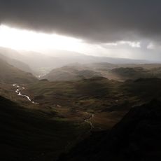
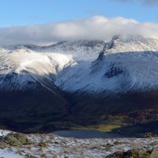
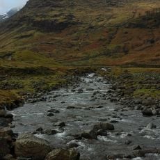
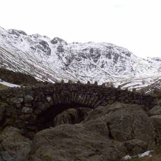
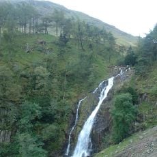
Weather can shift quickly from mild to snowy, so visitors should prepare for a range of conditions on the mountain. Weather forecasts tailored to different elevation levels help with realistic planning.
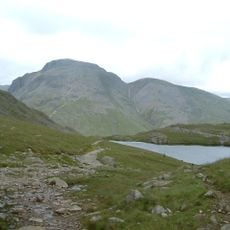
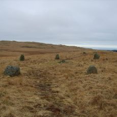
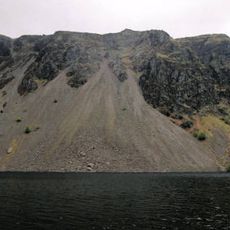
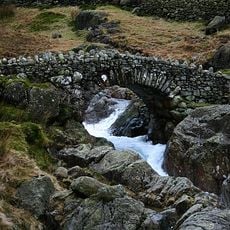
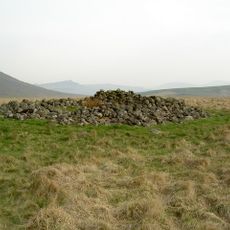
Lord's Rake was once the main route across the summit but substantial rockfalls have reshaped this path, making it considerably harder to traverse today. These changes remind visitors that mountains are constantly evolving landscapes.
Location: Cumbria
Elevation above the sea: 964 m
Made from material: igneous rock
GPS coordinates: 54.44751,-3.22471
Latest update: December 7, 2025 20:24
Scafell Pike
1.1 km
Great Gable
3.9 km
Hardknott Roman Fort
5.1 km
Bowfell
3.8 km
Great End
2.8 km
Crinkle Crags
4.6 km
Green Gable
4.3 km
Yewbarrow
3.9 km
Ill Crag
1.8 km
Kirk Fell
4.2 km
Lingmell
1.7 km
Cairnfield including a prehistoric enclosure, 5 stone circles, 10 funerary cairns, 6 stone banks, 2 stone walls, a lynchet and a
5.1 km
Esk Pike
3.1 km
Seathwaite Fell
4.3 km
Illgill Head
4.1 km
Esk Hause
3 km
Rossett Pike
4.4 km
Allen Crags
3.6 km
Slight Side
1.5 km
Base Brown
5.3 km
Church of St Olaf
2.9 km
Ritson's Force
3.5 km
Taylor Gill Force
5 km
Stockley Bridge
5.2 km
Row Bridge North Of Hotel
3.1 km
Boundary Stone Circa 15 Feet East Of Overbeck Bridge On North Side Of Road
3.9 km
Maiden Castle round cairn, Burnmoor
2.4 km
Prehistoric enclosure, hut circle and adjacent cairnfield east of Whillan Beck, Burnmoor
3.7 kmVisited this place? Tap the stars to rate it and share your experience / photos with the community! Try now! You can cancel it anytime.
Discover hidden gems everywhere you go!
From secret cafés to breathtaking viewpoints, skip the crowded tourist spots and find places that match your style. Our app makes it easy with voice search, smart filtering, route optimization, and insider tips from travelers worldwide. Download now for the complete mobile experience.
A unique approach to discovering new places❞
— Le Figaro
All the places worth exploring❞
— France Info
A tailor-made excursion in just a few clicks❞
— 20 Minutes