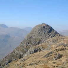
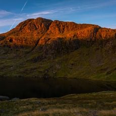
Rossett Pike, Mountain summit in Lake District, England
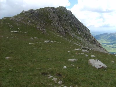
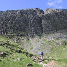
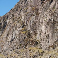
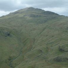
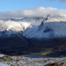
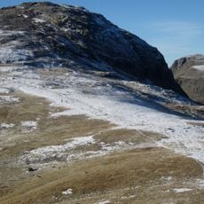
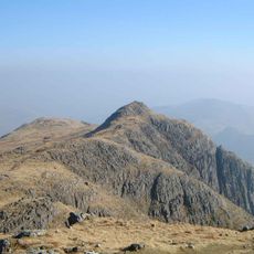
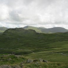
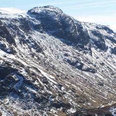
Rossett Pike is a mountain summit at 651 meters high positioned between the Mickleden and Langstrath valleys, with steep sides marked by notable cliff formations including Black Crag and Rossett Crag near the top. The slopes are crossed by multiple paths that climb through different angles and landscapes.
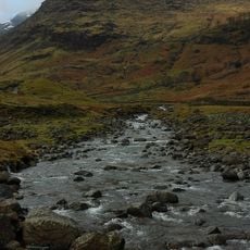
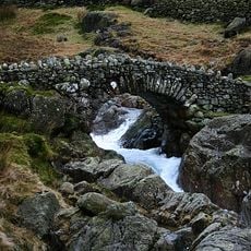
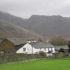
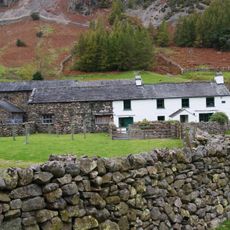
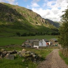
The paths on this slope began as simple tracks used by shepherds moving through the landscape, and over time became organized walking routes. This transformation connected different parts of the Lake District and made the mountain accessible to more people.
The mountain plays a role in the fell-walking tradition of the Lake District, a form of hiking that has shaped how visitors experience and engage with these landscapes. People have woven paths across it over decades, creating a way of being in nature that feels distinctive to this region.
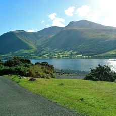
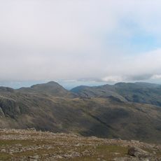
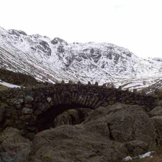
Several different paths lead to the top, with the most direct route starting from Great Langdale and following Rossett Gill with a steady climb. Visitors should wear sturdy footwear and bring weather-resistant clothing since conditions can change quickly at higher elevations.
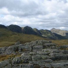
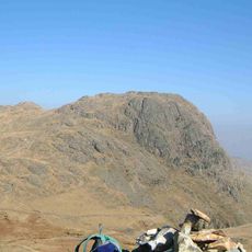
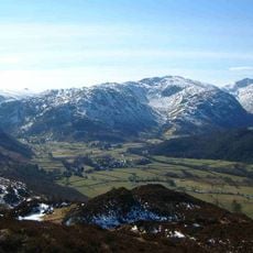
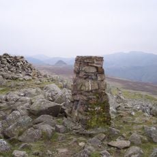
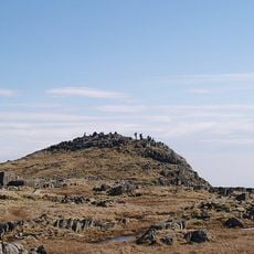
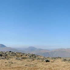
A small cairn sits about 10 meters from a notable rock formation at the summit, serving as a landmark among the crags. On clear days this location offers views toward the Langdale Pikes that many visitors do not expect from this angle and distance.
The community of curious travelers
AroundUs brings together thousands of curated places, local tips, and hidden gems, enriched daily by 60,000 contributors worldwide.