Scafell Pike, Mountain peak in Lake District, England
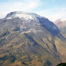
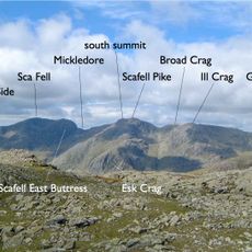
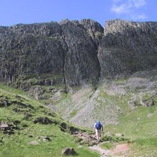
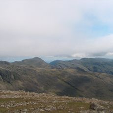
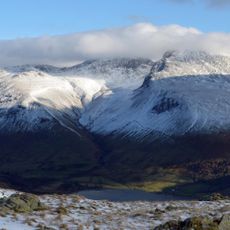
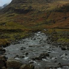
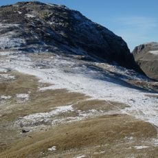
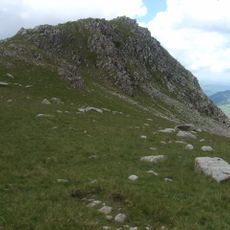
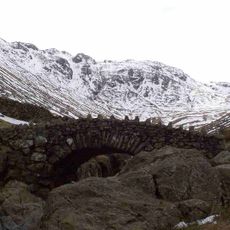
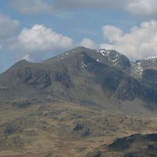
Scafell Pike is England's highest mountain, reaching 978 metres (3,209 ft) in the Lake District, Cumbria. Its broad, stony summit plateau is fringed by crags on all sides, with Pikes Crag and Dropping Crag above Wasdale and Rough Crag to the east. The highest point lies beneath a summit cairn over 3 metres high.
The summit was given to the National Trust by Lord Leconfield in 1919, in memory of the Lake District men who fell in the First World War. The mountain had no name of its own until the early 1800s, when the Ordnance Survey labelled it Sca-Fell Higher Top; the name Scawfell Pikes was adopted by common consent shortly before 1830 and appeared on a published Ordnance Survey map in 1865.
The name Scafell is first recorded in 1578 as Skallfield, probably from Old Norse skalli fjall, "the fell with the bald summit". The higher top only gained its own name in the 19th century: the Ordnance Survey labelled it Sca-Fell Higher Top, and Scawfell Pikes appeared on a published OS map in 1865.
The climb takes around three hours from Wasdale Head and follows stony paths that can become difficult to trace in fog. Sturdy walking boots and waterproof clothing are necessary because of sudden weather changes even during summer months.
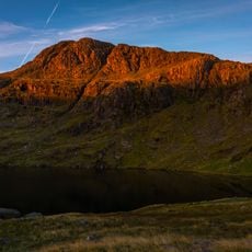
Broad Crag Tarn sits at 820 meters (2,690 feet) elevation below the summit and ranks as England's highest standing body of water. The small basin fills with meltwater and rain and holds water year-round despite the exposed location.
The community of curious travelers
AroundUs brings together thousands of curated places, local tips, and hidden gems, enriched daily by 92,093 contributors worldwide.