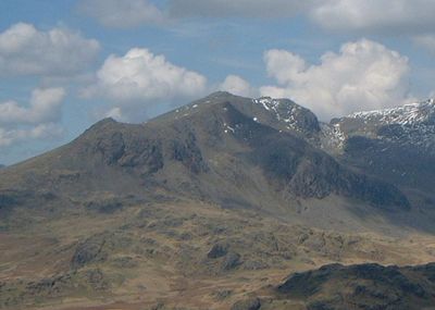
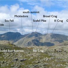
Slight Side, Mountain summit in Eskdale, England
Description
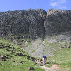
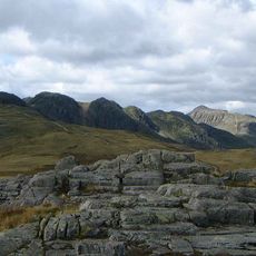
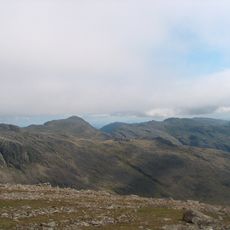
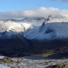
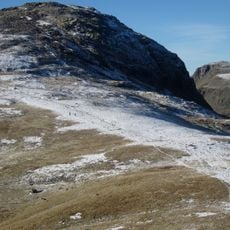
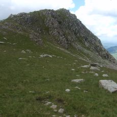
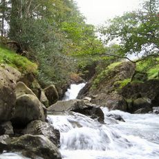
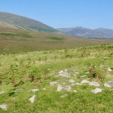
Slight Side is a 762-meter summit forming the southwestern edge of the Scafell Massif in England's lake region. The fell features steep slopes and rocky terrain that rise distinctly from the surrounding landscape.
History
The name derives from Old Norse words meaning a place where shepherds maintained summer pastures and temporary dwellings. This practice of seasonal grazing shaped the landscape for centuries before the modern era.
Culture
The fell appears in Alfred Wainwright's documentation of Lake District mountains and is recognized by hikers as an established summit in this region. For many visitors, reaching this peak represents a notable achievement in their fell-walking pursuits.
Practical
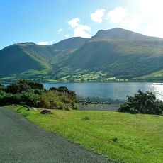
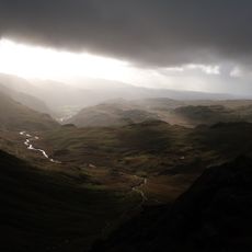
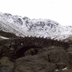
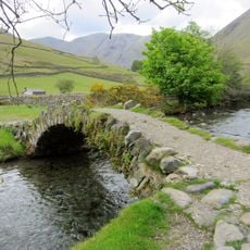
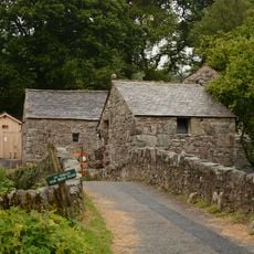
The ascent begins at Wasdale Head and follows clearly marked paths through different elevations. The route is accessible in most seasons but requires proper footwear and a steady step, as some sections can be steep and rocky.
Did you know?
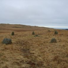
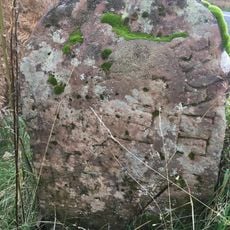
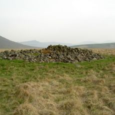
The path passes Bronze Age burial mounds and remnants of ancient hut foundations along the way. These remains reveal that people have traveled through this landscape for thousands of years, leaving traces of their presence across the mountainside.
AroundUs brings together thousands of curated places, local tips, and hidden gems, enriched daily by 60,000 contributors worldwide. Discover all places nearby (Eskdale).
Scafell Pike
2.3 km
Sca Fell
1.5 km
Hardknott Roman Fort
3.6 km
Bowfell
3.8 km
Great End
3.8 km
Crinkle Crags
3.9 km
Yewbarrow
5 km
Ill Crag
2.6 km
Lingmell
3.2 km
Cairnfield including a prehistoric enclosure, 5 stone circles, 10 funerary cairns, 6 stone banks, 2 stone walls, a lynchet and a
4.3 km
Esk Pike
3.6 km
Illgill Head
4.1 km
Esk Hause
3.8 km
Rossett Pike
4.7 km
Allen Crags
4.4 km
Church of St Olaf
4.3 km
Ritson's Force
4.9 km
Eskdale Mill
5.1 km
Bridge Over Whillan Beck To South West Of Corn Mill
5.1 km
Doctor Bridge
4.7 km
K6 Telephone Kiosk
3.9 km
Boot House And Whillanside
5.1 km
Row Bridge North Of Hotel
4.5 km
Building To South West Of Corn Mill On East Side Of Road At North End Of Bridge
5.1 km
Boundary Stone Circa 15 Feet East Of Overbeck Bridge On North Side Of Road
4.6 km
Prehistoric enclosure, hut circle and adjacent cairnfield east of Whillan Beck, Burnmoor
2.7 km
Maiden Castle round cairn, Burnmoor
2.5 km
Eskdale Corn Mill
5.1 kmDiscover hidden gems everywhere you go!
From secret cafés to breathtaking viewpoints, skip the crowded tourist spots and find places that match your style. Our app makes it easy with voice search, smart filtering, route optimization, and insider tips from travelers worldwide. Download now for the complete mobile experience.
A unique approach to discovering new places❞
— Le Figaro
All the places worth exploring❞
— France Info
A tailor-made excursion in just a few clicks❞
— 20 Minutes