Hardknott Roman Fort

Log in to your account

AroundUs is a community-driven map of interesting places, built by curious explorers like you. It grows with every review, story, and photo you share.
Connect to save your favorite spots, contribute locations, and create personalized routes.
Continue with Google
Continue with Apple
Continue with X
Continue with Facebook
Continue with email
By continuing, you accept our Terms and Conditions and our Privacy Policy
Create an account
Add to collection
Map
Suggest a change
Share

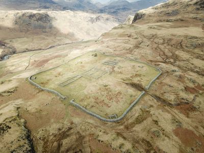
Hardknott Roman Fort, Ancient Roman fort in Eskdale, England

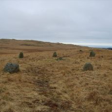
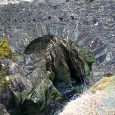
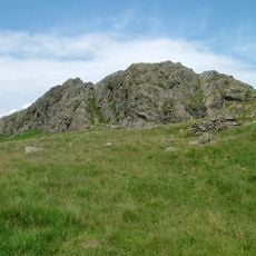
Hardknott Roman Fort is a Roman military installation in Eskdale whose stone ruins stand at 250 meters elevation and show remains of the commander's residence, barracks, and defensive walls. The layout follows the typical rectangular pattern of Roman forts with four gateways on its sides.

The fort was built between 120 and 138 AD during Emperor Hadrian's rule and housed around 500 soldiers. It was abandoned in the early third century, likely due to pressure from northern frontier zones.

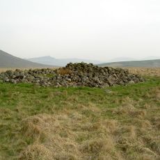
The remains reveal how Roman soldiers lived and worked in this remote location, with clues about their daily routines and habits. You can still see the outlines of living quarters and imagine what daily life was like here.

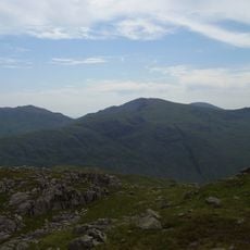
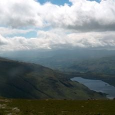
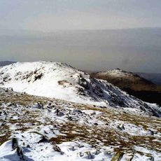
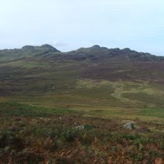
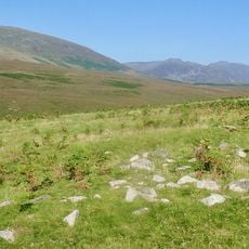
The fort sits on a steep hillside path, so good walking shoes and reasonable fitness are needed for the climb. The ascent is challenging, but the views from the top stretch across the valley.

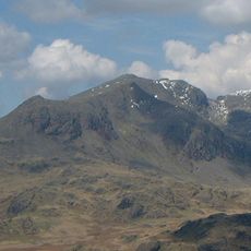
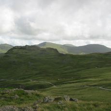
This is one of the highest-altitude Roman military posts in Britain and was positioned at the edge of controlled imperial territory. The remote location shows how far the Romans were willing to go to secure their borders.

Location: Eskdale

Website: https://english-heritage.org.uk/visit/places/hardknott-roman-fort

GPS coordinates: 54.40330,-3.20317

Latest update: December 8, 2025 19:52

Photos
Around this place
Sca Fell
United Kingdom

Sca Fell

5.1 km
Crinkle Crags
United Kingdom

Crinkle Crags

4.4 km
Harter Fell
United Kingdom

Harter Fell

1.8 km
Cairnfield including a prehistoric enclosure, 5 stone circles, 10 funerary cairns, 6 stone banks, 2 stone walls, a lynchet and a
United Kingdom

Cairnfield including a prehistoric enclosure, 5 stone circles, 10 funerary cairns, 6 stone banks, 2 stone walls, a lynchet and a

4.7 km
Great Carrs
United Kingdom

Great Carrs

5.1 km
Slight Side
United Kingdom

Slight Side

3.6 km
Seathwaite Tarn
United Kingdom

Seathwaite Tarn

4.1 km
Grey Friar
United Kingdom

Grey Friar

4.2 km
Birks Bridge
United Kingdom

Birks Bridge

2.6 km
Cold Pike
United Kingdom

Cold Pike

4.8 km
Green Crag
United Kingdom

Green Crag

3.8 km
St Catherine's Church, Boot
United Kingdom

St Catherine's Church, Boot

4.6 km
Holy Trinity Church, Seathwaite
United Kingdom

Holy Trinity Church, Seathwaite

5.5 km
Eskdale Mill
United Kingdom

Eskdale Mill

4.4 km
Bridge Over Whillan Beck To South West Of Corn Mill
United Kingdom

Bridge Over Whillan Beck To South West Of Corn Mill

4.4 km
Doctor Bridge
United Kingdom

Doctor Bridge

3.1 km
Eskdale War Memorial
United Kingdom

Eskdale War Memorial

4.9 km
Dalegarth Hall
United Kingdom

Dalegarth Hall

5.2 km
K6 Telephone Kiosk
United Kingdom

K6 Telephone Kiosk

880 m
Bridge End Farmhouse
United Kingdom

Bridge End Farmhouse

4.4 km
Boot House And Whillanside
United Kingdom

Boot House And Whillanside

4.3 km
Building To South West Of Corn Mill On East Side Of Road At North End Of Bridge
United Kingdom

Building To South West Of Corn Mill On East Side Of Road At North End Of Bridge

4.4 km
Barn To North West Of Bridge End Farmhouse
United Kingdom

Barn To North West Of Bridge End Farmhouse

4.4 km
Barn To South West Of Whillanside
United Kingdom

Barn To South West Of Whillanside

4.4 km
Great Crag prehistoric cairnfield and associated field system 710m south east of Birkerthwaite
United Kingdom

Great Crag prehistoric cairnfield and associated field system 710m south east of Birkerthwaite

5.2 km
Prehistoric enclosure, hut circle and adjacent cairnfield east of Whillan Beck, Burnmoor
United Kingdom

Prehistoric enclosure, hut circle and adjacent cairnfield east of Whillan Beck, Burnmoor

3.6 km
Eskdale Corn Mill
United Kingdom

Eskdale Corn Mill

4.4 km
Maiden Castle round cairn, Burnmoor
United Kingdom

Maiden Castle round cairn, Burnmoor

5.2 km
Show the full map
Reviews

Visited this place? Tap the stars to rate it and share your experience / photos with the community! Try now! You can cancel it anytime.

« Hardknott Roman Fort - Ancient Roman fort in Eskdale, England » is provided by Around Us (aroundus.com). Images and texts are derived from Wikimedia project under a Creative Commons license. You are allowed to copy, distribute, and modify copies of this page, under the conditions set by the license, as long as this note is clearly visible.

Discover hidden gems everywhere you go!

From secret cafés to breathtaking viewpoints, skip the crowded tourist spots and find places that match your style. Our app makes it easy with voice search, smart filtering, route optimization, and insider tips from travelers worldwide. Download now for the complete mobile experience.

Around Us App Screenshot

A unique approach to discovering new places

Le Figaro

All the places worth exploring

France Info

A tailor-made excursion in just a few clicks

20 Minutes