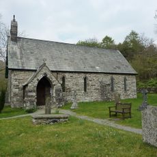
Harter Fell, Mountain summit in Lake District, England.
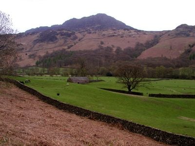
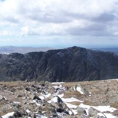
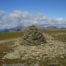
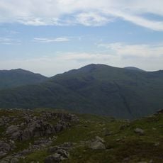
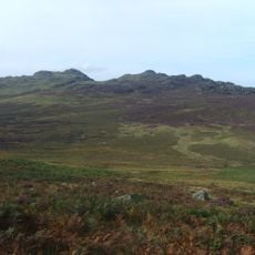
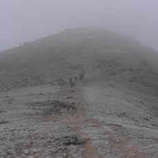
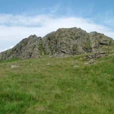
Harter Fell is a 649-meter mountain summit in Eskdale featuring steep slopes and rocky outcrops arranged in a triangular profile between surrounding peaks. The true summit sits on a separate rock formation, distinct from the trigonometric point on the hill.
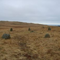
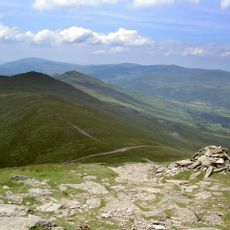
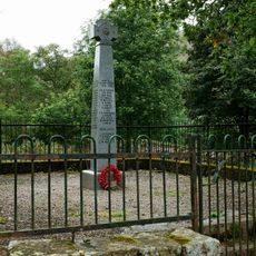
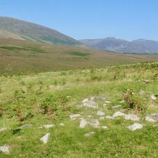
Pathways across this mountain have been used for centuries, creating a long tradition of crossing through Eskdale. Stone cairns marking these routes still stand today, showing the enduring importance of these passages through the landscape.
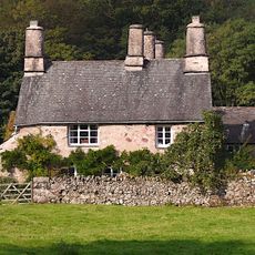
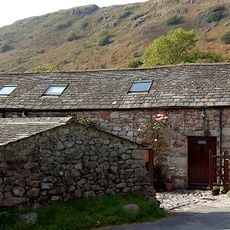
Shepherds graze their flocks on the slopes, maintaining farming traditions that have shaped this landscape for generations. You can see sheep scattered across the hillside and observe the working land that defines the valley's character.
The ascent from Jubilee Bridge follows a bridleway with varying terrain and takes approximately two hours for the seven-kilometer round trip. Bring sturdy footwear as the slope steepens and becomes rockier as you climb higher.
The actual summit sits on a rock formation separate from the trig point, creating an interesting puzzle for visitors seeking the true highest point. This distinction between two competing summits often surprises hikers and adds an unexpected element to the climb.
Location: Ulpha
Location: Eskdale
Elevation above the sea: 649 m
GPS coordinates: 54.38683,-3.20420
Latest update: December 12, 2025 12:03
Hardknott Roman Fort
1.8 km
Dow Crag
4.8 km
Cairnfield including a prehistoric enclosure, 5 stone circles, 10 funerary cairns, 6 stone banks, 2 stone walls, a lynchet and a
5.3 km
Brim Fell
5.3 km
Great Carrs
5.3 km
Slight Side
5.4 km
Seathwaite Tarn
3.3 km
Grey Friar
4.2 km
Birks Bridge
1.6 km
Green Crag
2.4 km
St Catherine's Church, Boot
4.3 km
Brown Pike
5.2 km
Holy Trinity Church, Seathwaite
3.7 km
Buck Pike
5 km
Eskdale Mill
4.5 km
Bridge Over Whillan Beck To South West Of Corn Mill
4.5 km
Doctor Bridge
3.1 km
Eskdale War Memorial
4.8 km
K6 Telephone Kiosk
1.6 km
Bridge End Farmhouse
4.5 km
Boot House And Whillanside
4.5 km
Dalegarth Hall
4.9 km
Barn To North West Of Bridge End Farmhouse
4.5 km
Building To South West Of Corn Mill On East Side Of Road At North End Of Bridge
4.5 km
Barn To South West Of Whillanside
4.5 km
Great Crag prehistoric cairnfield and associated field system 710m south east of Birkerthwaite
3.9 km
Prehistoric enclosure, hut circle and adjacent cairnfield east of Whillan Beck, Burnmoor
4.7 km
Eskdale Corn Mill
4.5 kmVisited this place? Tap the stars to rate it and share your experience / photos with the community! Try now! You can cancel it anytime.
Discover hidden gems everywhere you go!
From secret cafés to breathtaking viewpoints, skip the crowded tourist spots and find places that match your style. Our app makes it easy with voice search, smart filtering, route optimization, and insider tips from travelers worldwide. Download now for the complete mobile experience.
A unique approach to discovering new places❞
— Le Figaro
All the places worth exploring❞
— France Info
A tailor-made excursion in just a few clicks❞
— 20 Minutes