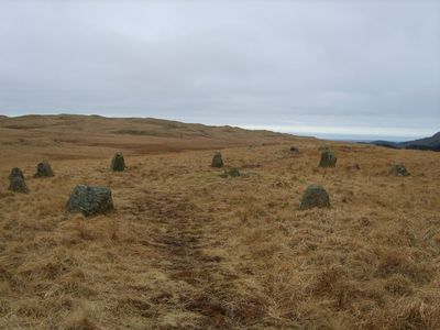
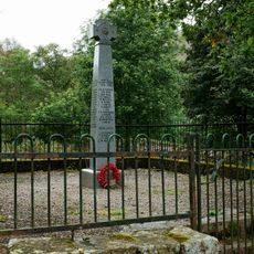
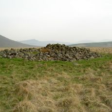
Cairnfield including a prehistoric enclosure, 5 stone circles, 10 funerary cairns, 6 stone banks, 2 stone walls, a lynchet and a, Bronze Age archaeological site in Eskdale, England.
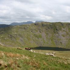
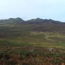
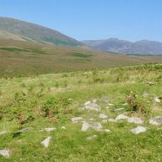
The Cairnfield is a Bronze Age complex spread across the Burnmoor moorland, featuring multiple stone circles, burial mounds, stone banks, and field structures. The site reveals different types of construction methods that communities used for both ceremonial and practical purposes.
This site originated during the Bronze Age when communities built stone structures for religious ceremonies and burials. The complex demonstrates how land use and burial traditions persisted across generations within the same area.
The stone circles here served as gathering places where communities came together for ceremonies and important events. These sites shaped how people organized their social and spiritual lives.
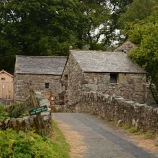
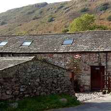
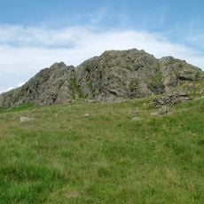
The terrain is hilly and exposed, so sturdy footwear and navigation equipment are important for exploring safely. The location is remote, so checking weather conditions and being prepared for open moorland are essential.
Several burial mounds stand inside one of the larger stone circles, showing how burials and ceremonies were linked at the same location. This arrangement helps reveal how ancient communities integrated different activities within sacred spaces.
The community of curious travelers
AroundUs brings together thousands of curated places, local tips, and hidden gems, enriched daily by 60,000 contributors worldwide.