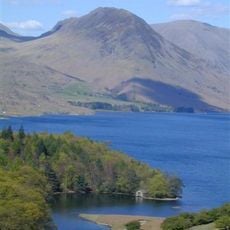
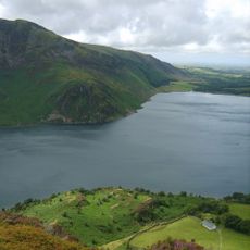
Caw Fell, Mountain summit in Western Fells, Lake District, England.
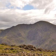
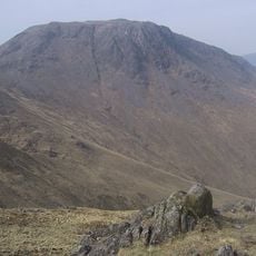
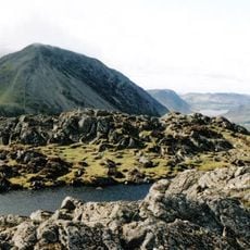
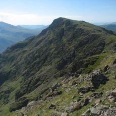
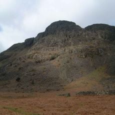
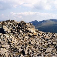
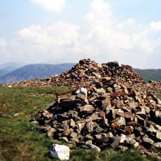
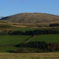
Caw Fell is a mountain summit in the Western Fells of the Lake District that rises to 697 meters. The peak is marked by a stone cairn and its slopes are covered with natural grassland.
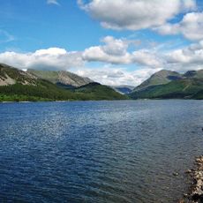
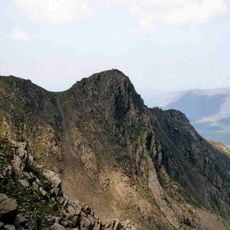
The mountain was shaped during the last ice age when glaciers carved the entire Lake District landscape. This glacial activity left deep valleys and distinctive ridge formations that define the region's appearance today.
Local shepherds have maintained traditional grazing practices on Caw Fell's slopes, continuing centuries of agricultural heritage in the region.
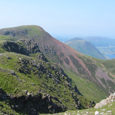
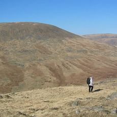
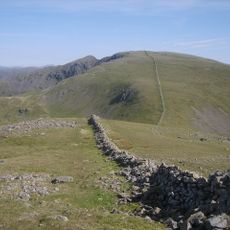
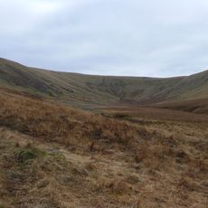
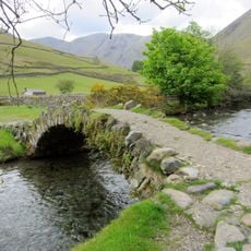
Hikers can approach the summit via marked trails from Ennerdale Valley or from the Blengdale area, with parking available at Bowness Knott nearby. The trails are clearly defined and accessible in most seasons, though sturdy footwear is essential due to the terrain.
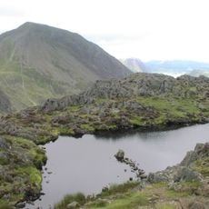
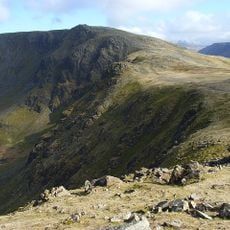
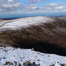
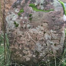
The peak has different elevation readings between its marked point and a stone cairn located about 40 meters to the southeast. A low wall separates these two areas, which often surprises hikers trying to determine the actual highest point.
The community of curious travelers
AroundUs brings together thousands of curated places, local tips, and hidden gems, enriched daily by 60,000 contributors worldwide.