Seatallan, Mountain summit in Lake District, United Kingdom
Description
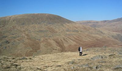
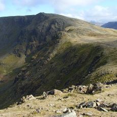
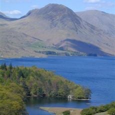
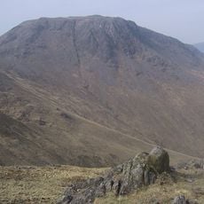
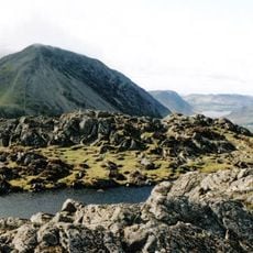
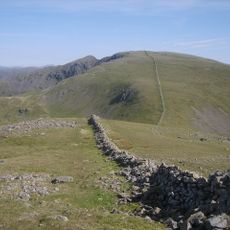
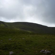
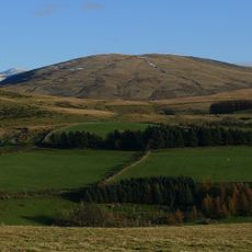
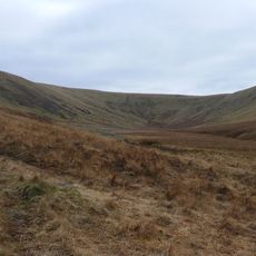
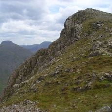
Seatallan is a mountain summit in the western Lake District reaching 692 meters in height. Its slopes are covered with grass and create an open landscape with few trees or dense vegetation.
History
The name Seatallan comes from the Cumbric language and refers to high pasture lands. The mountain is part of an older geological formation that shaped the western Lake District highlands.
Culture
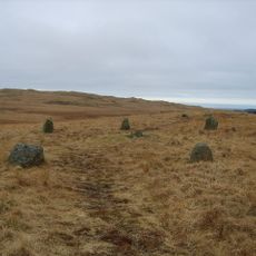
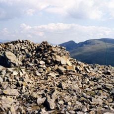
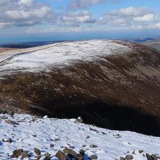
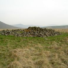
The mountain forms part of the established walking routes in the Lake District, marked by a summit cairn that connects to neighboring peaks.
Practical
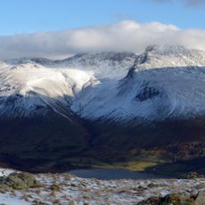
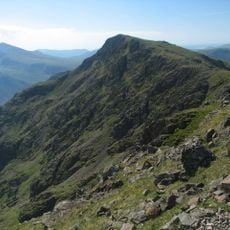
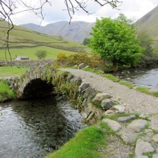
The mountain can be reached through several walking routes, with the main path starting from Pots of Ashness and clearly marked throughout. Visitors should wear proper footwear and be prepared for changing weather conditions that are common at this elevation.
Did you know?
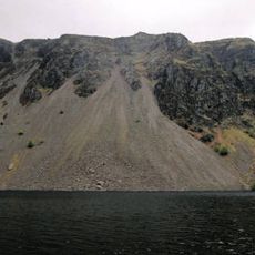
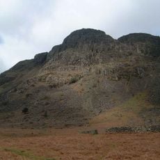
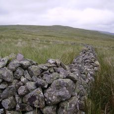
The rock at Seatallan consists of a special volcanic formation called Seatallan Dacite that geologists have named after the peak. This material is relatively rare in the region and gives the summit its distinctive geological character.
AroundUs brings together thousands of curated places, local tips, and hidden gems, enriched daily by 60,000 contributors worldwide. Discover all places nearby (United Kingdom).
Sca Fell
6.9 km
Pillar
4.8 km
Ennerdale Water
6.9 km
High Stile
6.9 km
Yewbarrow
3.3 km
Kirk Fell
5.8 km
Lingmell
6.9 km
Cairnfield including a prehistoric enclosure, 5 stone circles, 10 funerary cairns, 6 stone banks, 2 stone walls, a lynchet and a
6.8 km
High Crag
6.8 km
Illgill Head
4.6 km
Red Pike
3.3 km
Scoat Fell
3.5 km
Buckbarrow
2.4 km
Steeple
3.6 km
Middle Fell
1.6 km
Haycock
2.3 km
Church of St Olaf
4.8 km
Ritson's Force
4.6 km
Caw Fell
2.7 km
Lank Rigg
6 km
Iron Crag
3.9 km
Whoap
6 km
Church of St Michael and All Angels
4.7 km
Red Pike Mosedale
3.3 km
Row Bridge North Of Hotel
4.6 km
Boundary Stone Circa 15 Feet East Of Overbeck Bridge On North Side Of Road
3.2 km
Maiden Castle round cairn, Burnmoor
5.4 km
Tongue How prehistoric stone hut circle settlements, field systems, funerary cairns, cemetery and cairnfield, Romano-British far
7 kmDiscover hidden gems everywhere you go!
From secret cafés to breathtaking viewpoints, skip the crowded tourist spots and find places that match your style. Our app makes it easy with voice search, smart filtering, route optimization, and insider tips from travelers worldwide. Download now for the complete mobile experience.
A unique approach to discovering new places❞
— Le Figaro
All the places worth exploring❞
— France Info
A tailor-made excursion in just a few clicks❞
— 20 Minutes