Buckbarrow, Mountain summit in Cumbria, United Kingdom
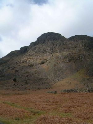
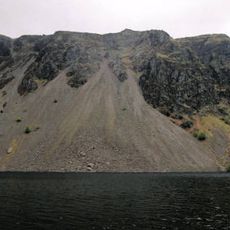
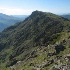
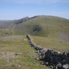
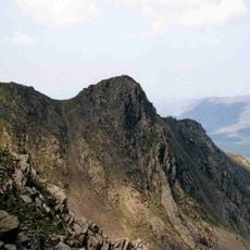
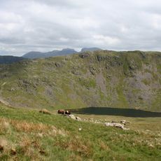
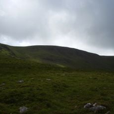
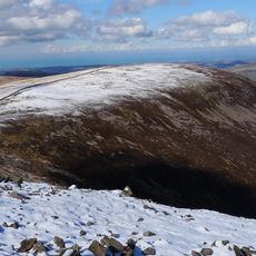
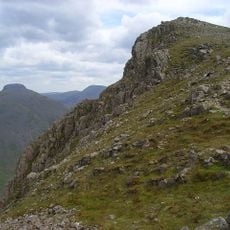
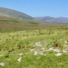
Buckbarrow is a mountain in Cumbria that reaches approximately 420 meters and sits within the western edges of the Lake District. Its slopes feature rocky terrain and open ridges that offer wide views across the surrounding fells and valleys.
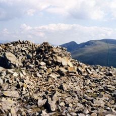
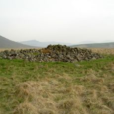
The mountain was surveyed and mapped by British authorities who established reference points at its summit for geographical documentation. These measurements were part of the systematic recording of the English lake region's terrain.
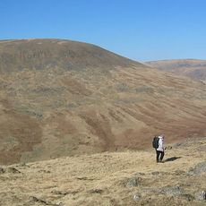
Local hiking communities regularly organize guided walks to Buckbarrow as part of the broader exploration of Western Fells in the Lake District.
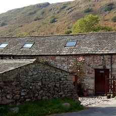
Sturdy hiking boots and weatherproof clothing are recommended for the climb in variable mountain conditions. A car park near Corney Fell Road serves as the main starting point for those attempting the ascent.
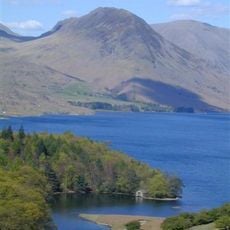
From the summit you can see three rivers converging below: the Irt, Mite, and Esk. This rare geographical alignment makes it a special vantage point for observing the region's waterways meeting in the landscape.
The community of curious travelers
AroundUs brings together thousands of curated places, local tips, and hidden gems, enriched daily by 60,000 contributors worldwide.