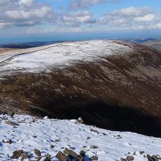
Crag Fell, Mountain summit in Lake District, England
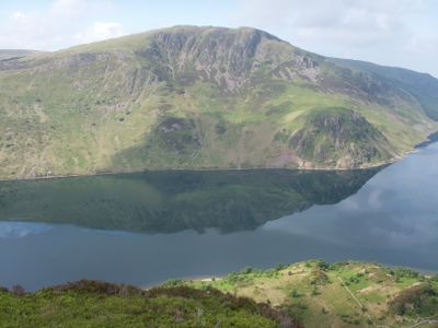
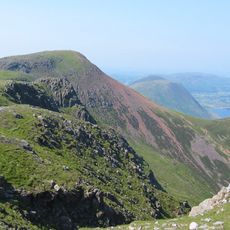
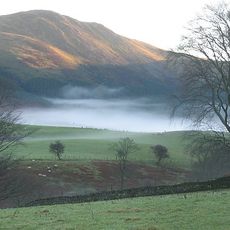
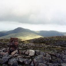
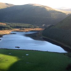
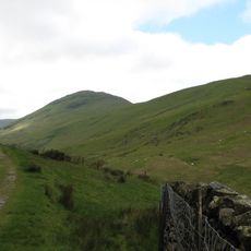
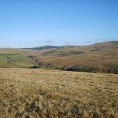
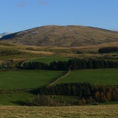
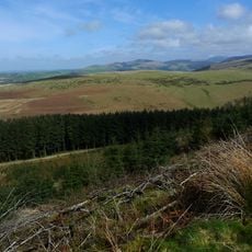
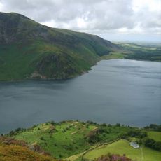
Crag Fell is a mountain summit in the western part of the Lake District that rises above the surrounding valleys and moorland. The peak offers wide views across the region, with distant hills and open spaces visible in clear conditions.
This summit was mapped and recorded during 19th-century geographical surveys of the Lake District carried out by local mountaineers. These surveys established it as a recognized point within the region's climbing history.
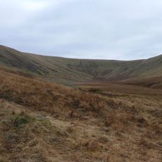
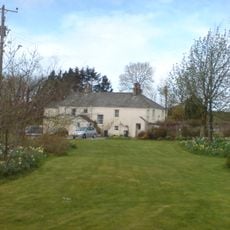
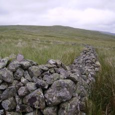
Local shepherds have used the paths around this summit for generations, establishing traditional routes that hikers still follow today. The landscape shows how farming families shaped these hills over centuries.
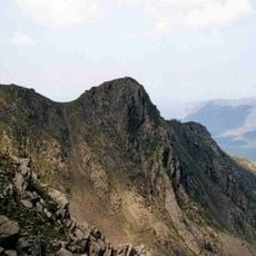
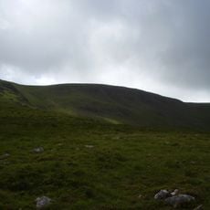
The paths to the summit are often steep and require sturdy footwear and navigation skills, especially in changeable weather. It helps to be prepared for shifting conditions, as weather and visibility can change quickly in the hills.
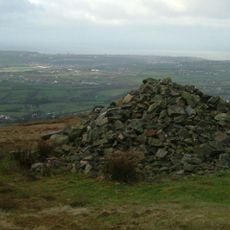
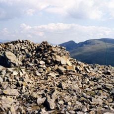
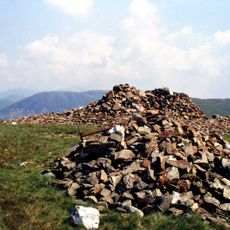
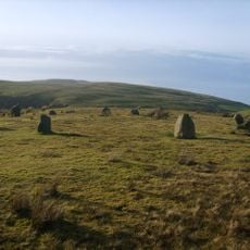
A stone cairn marks the summit, serving as a clear landmark that many hikers notice and use as a turning point. A second summit point lies roughly 100 meters away to the southeast, adding an interesting variation to the terrain.
The community of curious travelers
AroundUs brings together thousands of curated places, local tips, and hidden gems, enriched daily by 60,000 contributors worldwide.