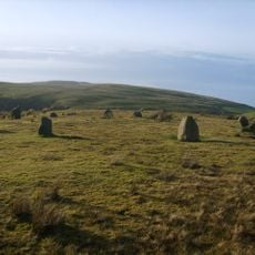
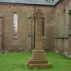
Cold Fell, Mountain summit in Cumbria, United Kingdom.
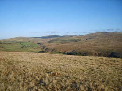
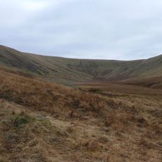
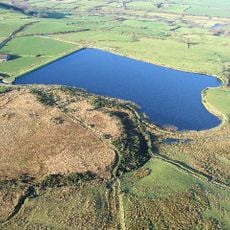
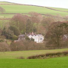
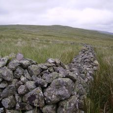
Cold Fell is a summit in Cumbria standing at 293 meters, with a broad, grassy top offering views toward the west Cumbrian coastline. The landscape consists of open moorland slopes covered in short grass that remain gentle and walkable throughout.
The name comes from Old Norse language, reflecting the Viking presence in northern England during the medieval period. This linguistic trace marks the settlement history of the region over many centuries.
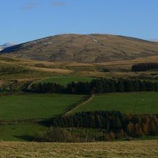
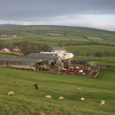
The fell holds a place in the walking traditions of the Lake District, valued by visitors who prefer accessible summits with gentle terrain. People use this landscape for casual hillwalking and appreciate the open moorland character it maintains today.
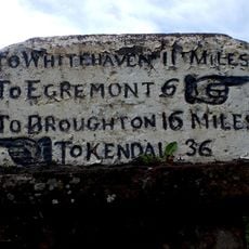
The fell can be reached from the villages of Ennerdale Bridge and Calder Bridge via Cold Fell Road, which serves as the main approach for visitors. Sturdy footwear is advisable, as the grassy slopes can become muddy depending on recent weather conditions.
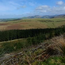
Free-roaming horses graze on the slopes and surrounding landscape, maintaining a natural pastoral environment. The presence of these animals gives the place a distinctive character that frequently catches visitors by surprise.
The community of curious travelers
AroundUs brings together thousands of curated places, local tips, and hidden gems, enriched daily by 60,000 contributors worldwide.