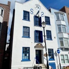
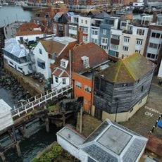
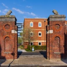
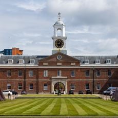
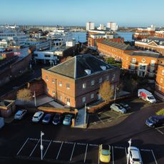
HMS Vernon, Naval shore establishment in Portsmouth, United Kingdom
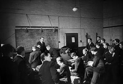
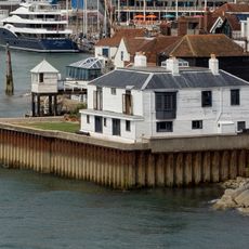
HMS Vernon was a naval base in Portsmouth dedicated to torpedo training and maintenance, comprising multiple training facilities, workshops, and accommodation buildings spread across the harbor waterfront. The establishment contained specialized workshops for maintaining and developing torpedo systems, along with extensive training areas for naval operations.
The establishment was founded in 1876, beginning as floating vessels for torpedo training before relocating to land facilities after World War I. This move allowed it to become a larger and more specialized training center that met the growing demands of modern naval warfare.
The site was the Royal Navy's main center for torpedo training and shaped generations of naval officers and enlisted personnel. Its training function was so important that it influenced the development of modern torpedo warfare tactics for the Navy.
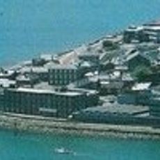
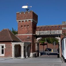
The site is no longer active as a naval base today and sits on private land within Portsmouth's harbor area. Visitors should check locally about which parts of the site are accessible, as many areas may be restricted or closed for development purposes.
During World War II, HMS Vernon personnel recovered and examined German magnetic mines, contributing to the development of countermeasures. This work was vital to the safety of British ships and helped shape the course of the war in the Atlantic.
The community of curious travelers
AroundUs brings together thousands of curated places, local tips, and hidden gems, enriched daily by 60,000 contributors worldwide.