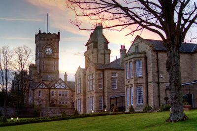
High Royds Hospital, Grade II listed former psychiatric hospital in Menston, Leeds, England
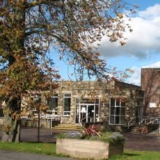
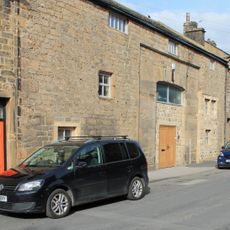
High Royds Hospital is a large former psychiatric facility in Menston near Leeds, set across sprawling grounds. The administration building features an Italian mosaic floor decorated with the Yorkshire Rose and black daisies.
The estate was purchased in 1885 by the West Riding Justices, and architect J. Vickers Edwards designed the facility, which opened in 1888. The hospital grew to become a significant institution in regional psychiatric care.
The Leeds band Kaiser Chiefs created a song titled 'Highroyds' about the facility, adding to its recognition in contemporary music.
The extensive grounds are best explored on foot and require time to traverse. Visitors should be prepared for changing weather conditions and uneven terrain.
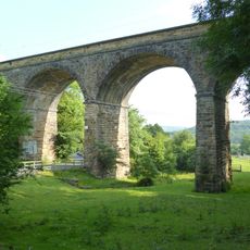
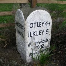
The institution was nearly self-contained with its own library, surgery, dispensary, butchery, dairies, bakery, shop, and various workshops. A private railway system connected the facility to the Wharfedale line until 1951 for supplies and staff transport.
The community of curious travelers
AroundUs brings together thousands of curated places, local tips, and hidden gems, enriched daily by 60,000 contributors worldwide.