Endon and Stanley, civil parish in Staffordshire Morlands, Staffordshire, England
Location: Staffordshire Moorlands
GPS coordinates: 53.07210,-2.10672
Latest update: March 7, 2025 19:43
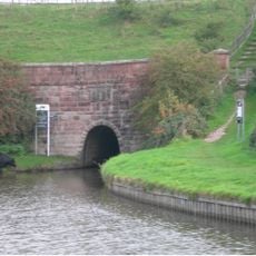
Caldon Canal
2.6 km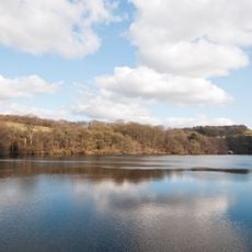
Knypersley Reservoir
4.2 km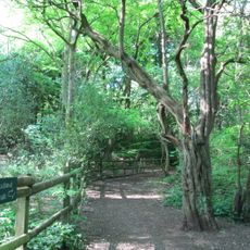
Bagnall Road Wood
3.2 km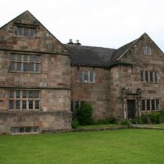
The Ashes
1.7 km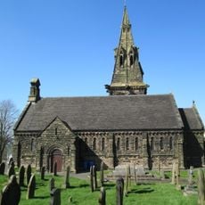
Church of St Anne
2.7 km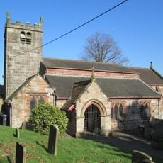
Church of St Luke, Endon
1 km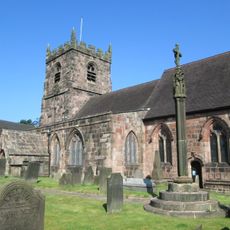
Church of St Edward the Confessor
4.2 km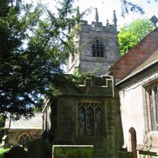
Church of St Michael
4.8 km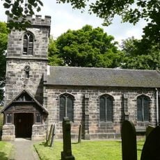
Church of St Chad
1.8 km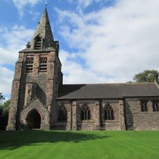
Church of St Chad
3.5 km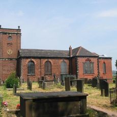
Church of St Bartholomew
3.8 km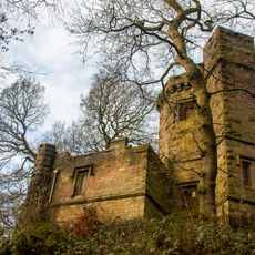
Prospect Tower And Attached Wing
4.2 km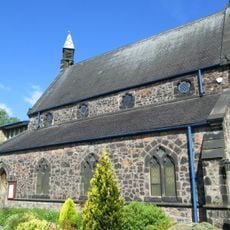
St. Philip and St. James
3.3 km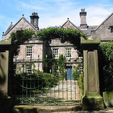
Horton Hall
4.8 km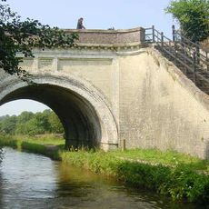
Hazlehurst Aqueduct
2.6 km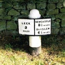
Milepost, Leek 3 Miles
2.5 km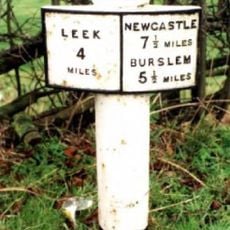
Milepost At Sj 933 541
1.4 km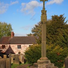
Sundial Approximately 40 Metres South Of Church Of St Edward
4.2 km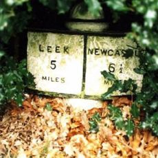
Milepost Outside 'Kings Croft', West Of Endon Village
1 km
Crowborough Farmhouse
4.8 km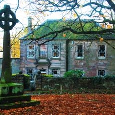
Village Cross Approximately 30 Metres North Of Bagnall Hall
1.9 km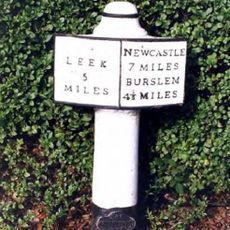
Milepost At Sj 923 528
601 m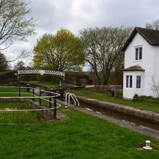
Footbridge At Sj 947 537
2.1 km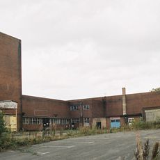
Chatterley Whitfield: Pithead Baths Complex (18-21)
4.6 km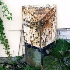
Milepost, between Norton Green & Norton-in-the-Moors, W of Endon village
3.4 km
Milepost, W of Endon village
1 km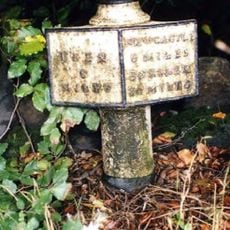
Milepost, Stockton Brook
1.9 km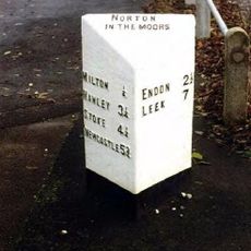
Milepost, between Milton & Baddeley Green
3.1 kmVisited this place? Tap the stars to rate it and share your experience / photos with the community! Try now! You can cancel it anytime.
Discover hidden gems everywhere you go!
From secret cafés to breathtaking viewpoints, skip the crowded tourist spots and find places that match your style. Our app makes it easy with voice search, smart filtering, route optimization, and insider tips from travelers worldwide. Download now for the complete mobile experience.

A unique approach to discovering new places❞
— Le Figaro
All the places worth exploring❞
— France Info
A tailor-made excursion in just a few clicks❞
— 20 Minutes