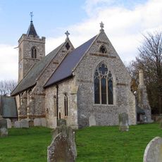
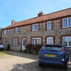
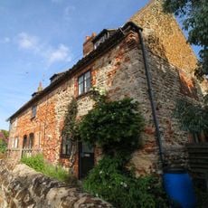
Holme Dunes, Protected nature reserve in Holme next the Sea, United Kingdom.
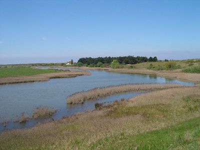
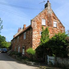
Holme Dunes is a nature reserve covering roughly 230 hectares where The Wash estuary meets the North Sea coast. The site contains sandy beaches, salt marshes, pine forests, and grazing marshlands that provide varied habitats for wildlife.
During World War II the area served as a tank firing range before being converted into a protected nature reserve. The most notable discovery came in 1998 when a Bronze Age timber circle named Seahenge emerged from beneath the sand.
The reserve draws birdwatchers from around the world, serving as a critical waypoint for migratory species passing through Europe's coastal zones. Visitors come to witness the seasonal arrival of thousands of birds and find solitude among the salt marshes and dunes.
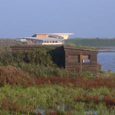
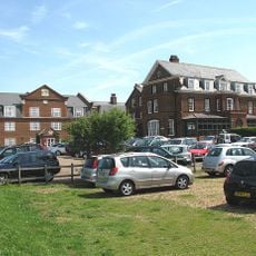
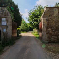
The main entrance provides a visitor center with information, permits, and facilities including toilets and a shop for supplies. Three observation hides are positioned throughout the reserve to provide different vantage points for wildlife watching.
The area experiences regular tidal flooding that constantly reshapes the landscape, creating new sandbars and removing old ones with each season. This continual transformation means the reserve never looks quite the same twice, revealing the powerful forces that shape this coastal environment.
Location: Holme next the Sea
GPS coordinates: 52.97400,0.55100
Latest update: December 14, 2025 16:40
Seahenge
2.1 km
Titchwell Marsh
3.8 km
Hunstanton Hall
3.8 km
Old Hunstanton Lighthouse
4.7 km
Church of St Andrew
4.3 km
Church of All Saints
2.5 km
Church of St Mary, Old Hunstanton
3.8 km
Church of St Mary
1.6 km
66, Church Road
3.8 km
62 and 63, Church Road
3.8 km
Le Strange Arms Hotel
4 km
Princess Theatre
3.9 km
Monument To William Green Situated 25 Metres From Church Of St Mary In Churchyard
3.8 km
Ringstead War Memorial
4.3 km
Holme-next-the-Sea War Memorial
1.6 km
Monument To William Webb Situated 50 Metres From Church Of St Mary In Churchyard
3.8 km
53 And 55, Old Hunstanton Road
4 km
School And Former School House
3.8 km
12 And 14, Sea Lane
4 km
Churchyard Wall From Churchyard Gate To Number 66 Church Road (East) To West Of Church Of St Mary
3.8 km
69-73, Old Hunstanton Road
3.9 km
16 And 18, Sea Lane
4 km
Cliff Farm House
3.9 km
Gates And Gate Piers To Hunstanton Park
3.9 km
Milestone, Cromer Road, S of jct with Chapel Bank
4.6 km
Milestone, Main Road, by No. 31
2 km
Milestone, High Street, Thornham, by 'Ivanhoe',
2.8 km
Milestone, 40yds W of Marsh View
4.1 kmVisited this place? Tap the stars to rate it and share your experience / photos with the community! Try now! You can cancel it anytime.
Discover hidden gems everywhere you go!
From secret cafés to breathtaking viewpoints, skip the crowded tourist spots and find places that match your style. Our app makes it easy with voice search, smart filtering, route optimization, and insider tips from travelers worldwide. Download now for the complete mobile experience.
A unique approach to discovering new places❞
— Le Figaro
All the places worth exploring❞
— France Info
A tailor-made excursion in just a few clicks❞
— 20 Minutes