
Isley cum Langley, civil parish in Leicestershire, United Kingdom
Location: North West Leicestershire
GPS coordinates: 52.81138,-1.35732
Latest update: March 3, 2025 08:48

Donington Park
2.5 km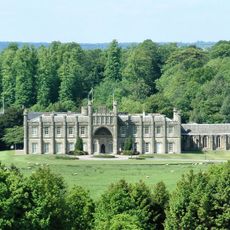
Donington Hall
3.2 km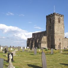
Church of St Mary and St Hardulph, Breedon on the Hill
2.9 km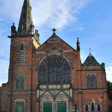
Castle Donington Methodist Church
3.5 km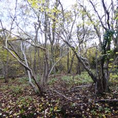
Breedon Cloud Wood and Quarry
3.5 km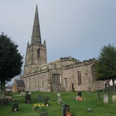
Church of St John the Baptist
3.4 km
The Bulwarks (earthworks)
3 km
Pasture and Asplin Woods
2.7 km
Donington Park SSSI
3.4 km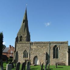
St Michael and All Angels' Church, Diseworth
2 km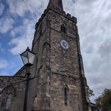
Church of St Edward King and Martyr, Castle Donington
3.6 km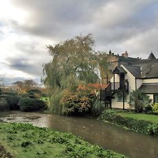
The Priest House Hotel
3.9 km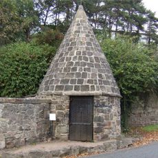
Lock Up And Pound
2.9 km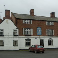
The George Public House
3.4 km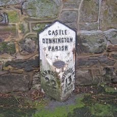
Milepost Between Numbers 23 And 33
3.2 km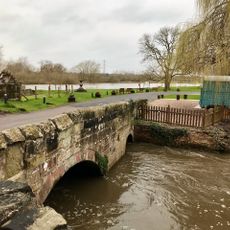
Bridge Over Mill Stream At King's Mills, With Walls To Mill Stream And Mill Wheel
3.9 km
Chain Bridge
3.7 km
22 And 24, Clapgun Street
3.7 km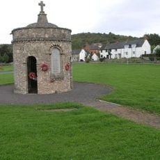
Breedon on the Hill War Memorial
3.2 km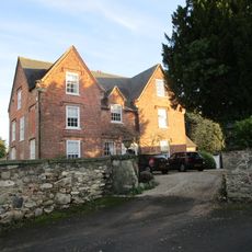
The Old Vicarage
3.5 km
16, Long Street
3.5 km
14, Long Street
3.5 km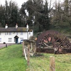
Mill Wheel And Retaining Walls To Mill Stream At King's Mills, Circa 35 Metres To South West Of The Priest House Hotel
3.9 km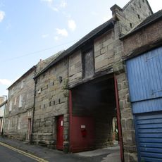
Number 4 With Storehouse Adjoining
3.5 km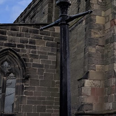
Lamp Post Approximately 6 Metres North Of North Door To Nave Of Church Of St Edward, King And Martyr
3.6 km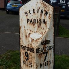
Milepost At Os Sk 456210
3.6 km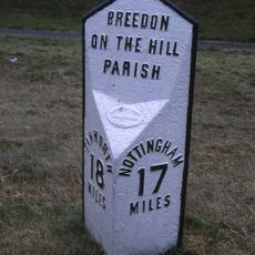
Milepost At Os Sk 403228
3.3 km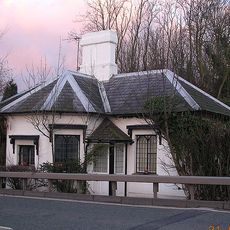
The Toll House
1.5 kmVisited this place? Tap the stars to rate it and share your experience / photos with the community! Try now! You can cancel it anytime.
Discover hidden gems everywhere you go!
From secret cafés to breathtaking viewpoints, skip the crowded tourist spots and find places that match your style. Our app makes it easy with voice search, smart filtering, route optimization, and insider tips from travelers worldwide. Download now for the complete mobile experience.

A unique approach to discovering new places❞
— Le Figaro
All the places worth exploring❞
— France Info
A tailor-made excursion in just a few clicks❞
— 20 Minutes