Chest opened
+${chestReward.xp} XP
Explorer
NOUVEAU ×${chestReward.collectible.quantity}
tapez pour fermer
Chest locked

Open chests in the app

Around Us is built for your phone — chests unlock when you walk, explore and capture nearby places.

Enable Location

We need your location to show you interesting places around you

Discover nearby places

Find interesting locations and hidden gems around you

Precise directions

Get accurate directions and distances to places

Your location is never shared with other users. It's only used when you tap the location button.

Kirklees Way

Log in to your account

Start exploring — it's free

Trusted by 72,880 travelers worldwide

Continue with Google
Continue with Apple
or

We will send you a code to connect

By continuing, you accept our Terms and Conditions and our Privacy Policy

Check your inbox

We've sent a pincode in your inbox. Please enter the code below.

Kirklees Way
Discussion Reviews 1 Photos
1.4k Popularity

Kirklees Way, long-distance footpath in West Yorkshire, England

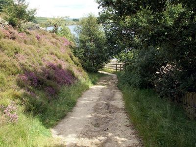
The Kirklees Way is a long-distance walking trail in West Yorkshire that spans roughly 116 kilometers through diverse terrain. The route passes through moorland, valleys, and numerous reservoirs including Wessenden, Holme Styes, and Ramsden, with notable features like Standedge Tunnel and several historic viaducts marking the landscape.

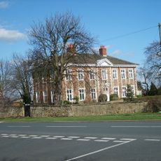
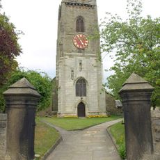
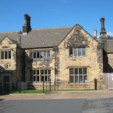
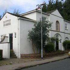
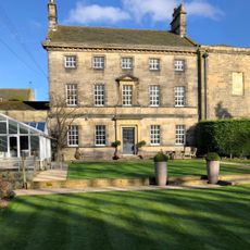
The route passes through areas shaped by industrial heritage, featuring Standedge Tunnel, one of Britain's longest canal tunnels built for historic boat transport through difficult terrain. Historic structures like the sixteenth-century Kirklees Priory Gatehouse and old stone walls throughout the region testify to centuries of settlement and work.

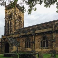
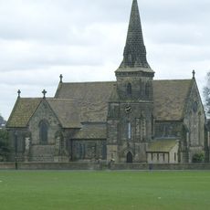
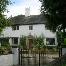
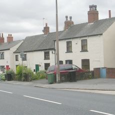
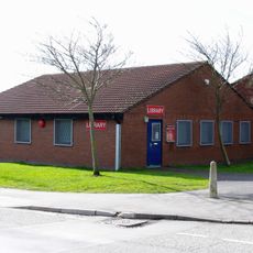
The trail links several villages that embody rural Yorkshire life, from Marsden's connection to the Pennines to Denby Dale's famous giant pie tradition. These communities show how local customs and regional heritage remain visible in the architecture, shops, and daily rhythms of life along the route.

The trail is well marked with clear signposts throughout, making navigation straightforward for walkers of all abilities. Nearby villages offer cafes and pubs to rest and refuel, though it is wise to plan ahead and carry supplies for longer stretches without settlements.

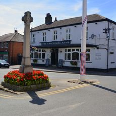
The walk reveals unexpected contrasts between isolated moorland spots like Deanhead, with sweeping views, and lively villages such as Marsden, home to the Riverhead Brewery Tap where beer is brewed in the cellar below the pub. This mix of remote wilderness and thriving communities shows the diverse character of the region.

The community of curious travelers

AroundUs brings together thousands of curated places, local tips, and hidden gems, enriched daily by 60,000 contributors worldwide.

Start exploring
Location
Part of
National Cycle Route 6
GPS coordinates
53.82500,-1.42900
Latest update
February 9, 2026 07:46
Around this place
Austhorpe Hall
United Kingdom

Austhorpe Hall

2.6 km
St Mary's Church, Whitkirk
United Kingdom

St Mary's Church, Whitkirk

3.4 km
Barwick-in-Elmet Castle
United Kingdom

Barwick-in-Elmet Castle

2.4 km
Church of All Saints
United Kingdom

Church of All Saints

2.5 km
St. James' Church, Seacroft
United Kingdom

St. James' Church, Seacroft

2.1 km
Former Seacroft Library
United Kingdom

Former Seacroft Library

2.2 km
Crawshaw Woods (Shippen House Farm) Bridge, Hul4/20
United Kingdom

Crawshaw Woods (Shippen House Farm) Bridge, Hul4/20

2.7 km
Crossgates Library
United Kingdom

Crossgates Library

2.5 km
Cricketers Arms Public House
United Kingdom

Cricketers Arms Public House

2.1 km
Scholes Library
United Kingdom

Scholes Library

38 m
Redhall House
United Kingdom

Redhall House

3.5 km
Tower At Seacroft Hospital
United Kingdom

Tower At Seacroft Hospital

3.4 km
The Old Lamb Guesthouse
United Kingdom

The Old Lamb Guesthouse

2.1 km
Manor House And The Keep
United Kingdom

Manor House And The Keep

3.5 km
Barwick-in-Elmet War Memorial
United Kingdom

Barwick-in-Elmet War Memorial

2.4 km
1049 And 1051, York Road
United Kingdom

1049 And 1051, York Road

2.1 km
The Grange
United Kingdom

The Grange

2 km
Whinmoor Library
United Kingdom

Whinmoor Library

2.2 km
The Coach House
United Kingdom

The Coach House

3.5 km
Barnbow Shell Factory Workers Memorial
United Kingdom

Barnbow Shell Factory Workers Memorial

2.5 km
Beechwood With Wall And Gate Piers
United Kingdom

Beechwood With Wall And Gate Piers

3.6 km
Cross Base And Shaft Approximately 20 Metres North West Of Butts Garth House
United Kingdom

Cross Base And Shaft Approximately 20 Metres North West Of Butts Garth House

3.6 km
Coach House And Service Range To The Grange
United Kingdom

Coach House And Service Range To The Grange

2.1 km
West Wing, Potterton Hall
United Kingdom

West Wing, Potterton Hall

3.7 km
Killingbeck Cemetery War Memmorial
United Kingdom

Killingbeck Cemetery War Memmorial

3.6 km
Memorial to the Barnbow Lasses, Manston Park, Cross Gates, Leeds
United Kingdom

Memorial to the Barnbow Lasses, Manston Park, Cross Gates, Leeds

2.1 km
Milestone, Wetherby Road, N of Wellington Hill and traffic lights at Redhall Lane
United Kingdom

Milestone, Wetherby Road, N of Wellington Hill and traffic lights at Redhall Lane

3.2 km
Milestone, York Road, Whinmoor  nr Basildon Drive
United Kingdom

Milestone, York Road, Whinmoor nr Basildon Drive

1.5 km
Show the full map
Reviews
Share your experience

No review yet

Discussions
Start a discussion...

No discussion yet

« Kirklees Way - long-distance footpath in West Yorkshire, England » is provided by Around Us (aroundus.com). Images and texts are derived from Wikimedia project under a Creative Commons license. You are allowed to copy, distribute, and modify copies of this page, under the conditions set by the license, as long as this note is clearly visible.

Discover hidden gems everywhere you go!

From secret cafés to breathtaking viewpoints, skip the crowded tourist spots and find places that match your style. Our app makes it easy with voice search, smart filtering, route optimization, and insider tips from travelers worldwide. Download now for the complete mobile experience.

Around Us App Screenshot

A unique approach to discovering new places

Le Figaro

All the places worth exploring

France Info

A tailor-made excursion in just a few clicks

20 Minutes

Around Us
Travel Guide & Maps
Download

Send to your phone

QR Code
1

Open the camera app on your mobile.

2

Point at the QR code with your camera. A notification will appear.

3

Tap the notification to open the link.