Kit Hill Country Park, Country park in Stokeclimsland, England
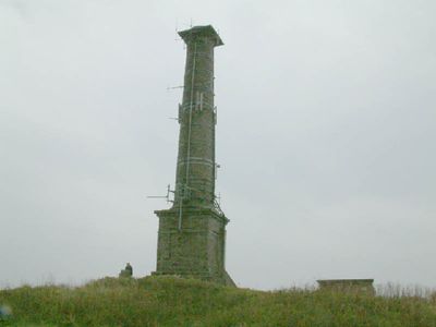
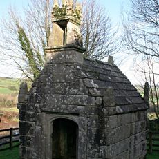
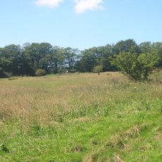
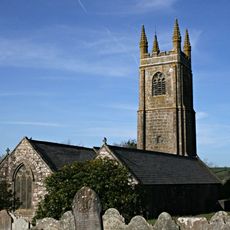
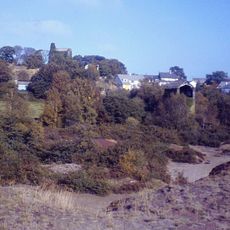
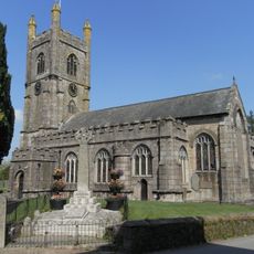
Kit Hill Country Park is a country park in Stokeclimsland, Cornwall, set on a granite hilltop with open views across the surrounding land. The terrain is crossed by walking trails, and old mine workings remain visible across the hill.
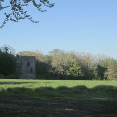
The hill was recorded in the 9th century as the site of a battle between West Saxon and Viking-Cornish forces. Copper and tin mining then shaped much of the land over the following centuries, leaving behind the structures still visible today.
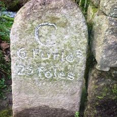
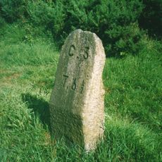
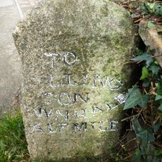
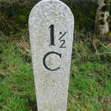
The park takes its name from a local family and sits within former copper and tin mining land, crossed by traditional walking routes. These paths have been part of everyday life for people in the area for generations.
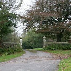
Parking is free and available at more than one spot, including a main entrance lower on the hill and another at the hilltop for shorter walks. The terrain is open and exposed, so wearing weather-resistant clothing is a good idea at any time of year.
The land was handed to the public in 1985 to mark the birth of a royal family member, making it one of the few parks in England created for that kind of occasion. Before that, the hill had been used almost entirely for mining and had never been a public space.
The community of curious travelers
AroundUs brings together thousands of curated places, local tips, and hidden gems, enriched daily by 60,000 contributors worldwide.