Langbaurgh East, Historical hundred in North Riding of Yorkshire, England
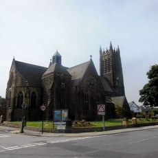
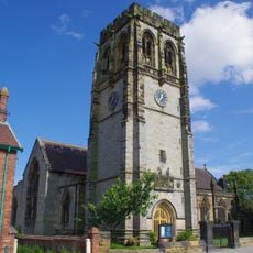
Langbaurgh East is a historical administrative area extending from Wilton to Redcar in the north and reaching southward to Whitby, encompassing rural territory in what is now Redcar and Cleveland. The region is shaped by natural geographic boundaries that define its landscape and extent.
The area originated as a wapentake, an administrative division shaped by Scandinavian governance systems during the medieval period. This form of organization shows the lasting influence of Viking settlement patterns on northern English administration.
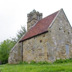
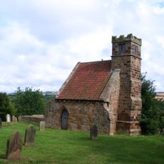
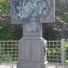
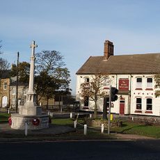
The parishes within this region maintain records that document daily community life and family roots across centuries. These traditions remain visible today through the work of local historical societies that keep the stories alive.
The North Yorkshire County Record Office holds original documents and maps that support genealogical research and historical inquiry. Visitors interested in tracing family histories or exploring local administrative records will find valuable resources there.
The region follows the natural boundaries of the Cleveland Hills, creating a geographically distinct territory within Yorkshire. This arrangement shows how natural landscapes shaped medieval administrative divisions.
The community of curious travelers
AroundUs brings together thousands of curated places, local tips, and hidden gems, enriched daily by 60,000 contributors worldwide.