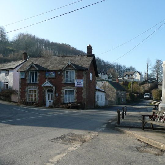
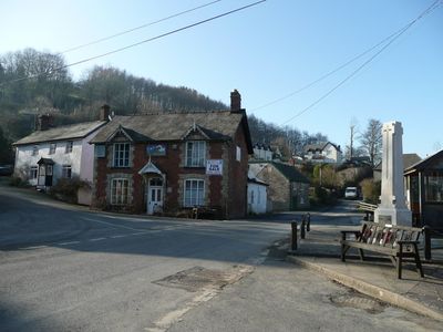
Llangunllo

Log in to your account

AroundUs is a community-driven map of interesting places, built by curious explorers like you. It grows with every review, story, and photo you share.
Connect to save your favorite spots, contribute locations, and create personalized routes.
By continuing, you accept our Terms and Conditions and our Privacy Policy

Llangunllo, village and community in Powys

Location: Powys

Website: http://llangunllo.co.uk

GPS coordinates: 52.33460,-3.15850

Latest update: March 7, 2025 03:06
Alternative picture
Alternative picture
QRCode
Around this place
Show the full map
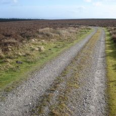
Offa's Dyke Path
United Kingdom

Offa's Dyke Path

7.4 km
Black Mixen
United Kingdom

Black Mixen

7.1 km
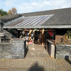
Offa's Dyke Centre
United Kingdom

Offa's Dyke Centre

7.4 km
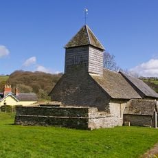
St Mary Magdalene's Church
United Kingdom

St Mary Magdalene's Church

3 km
St Mary's Church
United Kingdom

St Mary's Church

5.4 km
Knighton and Knucklas English Baptist Church
United Kingdom

Knighton and Knucklas English Baptist Church

7.3 km
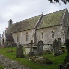
Church of St Mary
United Kingdom

Church of St Mary

5.7 km
Coxhead Bank Common
United Kingdom

Coxhead Bank Common

4.9 km
Monaughty House
United Kingdom

Monaughty House

3.8 km
Church of St.David
United Kingdom

Church of St.David

7.1 km
Llan-fawr
United Kingdom

Llan-fawr

6.4 km
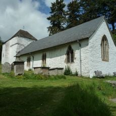
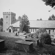
Church of St.Cynllo
United Kingdom

Church of St.Cynllo

76 m
No. 6 High Street (H. W. Parker, Chemist)
United Kingdom

No. 6 High Street (H. W. Parker, Chemist)

7.4 km
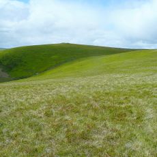
Rhos-crug
United Kingdom

Rhos-crug

5.4 km
No.1 High Street (Islwyn Watkins Antiques) including premises of W.Machin, Butcher, West Street
United Kingdom

No.1 High Street (Islwyn Watkins Antiques) including premises of W.Machin, Butcher, West Street

7.5 km
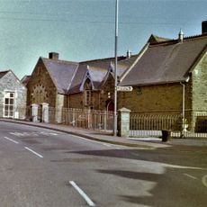
Youth Hostel Association and Heritage Centre (former primary school) West Street
United Kingdom

Youth Hostel Association and Heritage Centre (former primary school) West Street

7.4 km
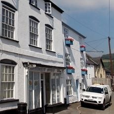
Mandarin House (Chinese take-away) (Formerly Castle House) Castle Road
United Kingdom

Mandarin House (Chinese take-away) (Formerly Castle House) Castle Road

7.3 km
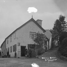
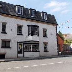
The Post Office (B4356 Sw Side)
United Kingdom

The Post Office (B4356 Sw Side)

44 m
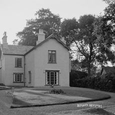
Bleddfa Old Rectory
United Kingdom

Bleddfa Old Rectory

3 km
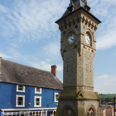
Clock Tower, High Street
United Kingdom

Clock Tower, High Street

7.5 km
Knucklas Railway Viaduct
United Kingdom

Knucklas Railway Viaduct

4.8 km
Gwernaffel Farmhouse, Gwernaffel
United Kingdom

Gwernaffel Farmhouse, Gwernaffel

5.6 km
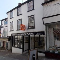
No.23 High Street (Brown's Bakers)
United Kingdom

No.23 High Street (Brown's Bakers)

7.4 km
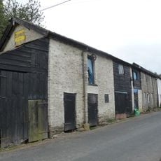
Outbuildings Adjoining Post Office (B4356)
United Kingdom

Outbuildings Adjoining Post Office (B4356)

60 m
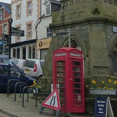
Telephone call-box on island site, beside Clock Tower, High Street
United Kingdom

Telephone call-box on island site, beside Clock Tower, High Street

7.5 km
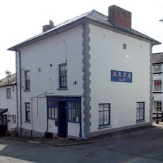
No.14 High Street (Rafa Club)
United Kingdom

No.14 High Street (Rafa Club)

7.4 km
No. 8 (The Odd Corner) High Street
United Kingdom

No. 8 (The Odd Corner) High Street

7.4 km
Llangunllo War Memorial
United Kingdom

Llangunllo War Memorial

8 m
Show the full map

Reviews

Visited this place? Tap the stars to rate it and share your experience / photos with the community! Try now! You can cancel it anytime.

« Llangunllo - village and community in Powys » is provided by Around Us (aroundus.com). Images and texts are derived from Wikimedia project under a Creative Commons license. You are allowed to copy, distribute, and modify copies of this page, under the conditions set by the license, as long as this note is clearly visible.

Discover hidden gems everywhere you go!

From secret cafés to breathtaking viewpoints, skip the crowded tourist spots and find places that match your style. Our app makes it easy with voice search, smart filtering, route optimization, and insider tips from travelers worldwide. Download now for the complete mobile experience.

Around Us App Screenshot

A unique approach to discovering new places

Le Figaro

All the places worth exploring

France Info

A tailor-made excursion in just a few clicks

20 Minutes