Powys, Principal administrative area in east-central Wales, United Kingdom.
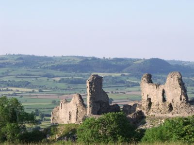
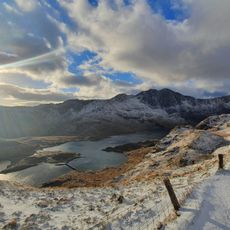
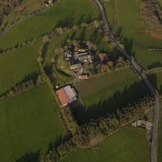
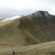
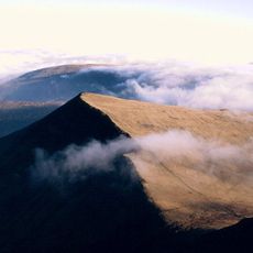
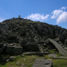
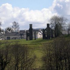
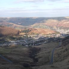
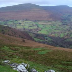
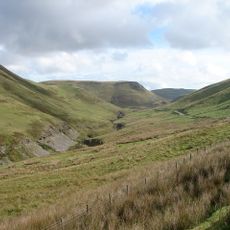
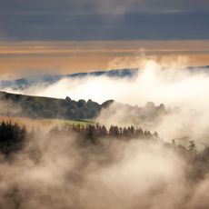
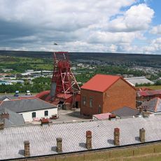
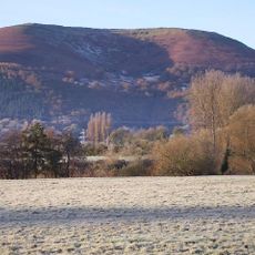
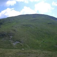
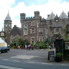
Powys is an administrative area in east-central Wales that includes mountain ranges, river valleys and part of the Brecon Beacons National Park. The landscape shifts between rolling hills in the east and rugged mountain ranges in the south, with small market towns and villages scattered through the valleys.
The region takes its name from a 6th-century Welsh kingdom that stretched across much of the present border areas. In the 13th century the territory fell under English control and later became part of the modern administrative structure of Wales.
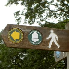
The name comes from a medieval kingdom that once ruled large parts of Wales. In the western areas many residents speak Welsh in daily life, which visitors notice when reading road signs and visiting local markets.
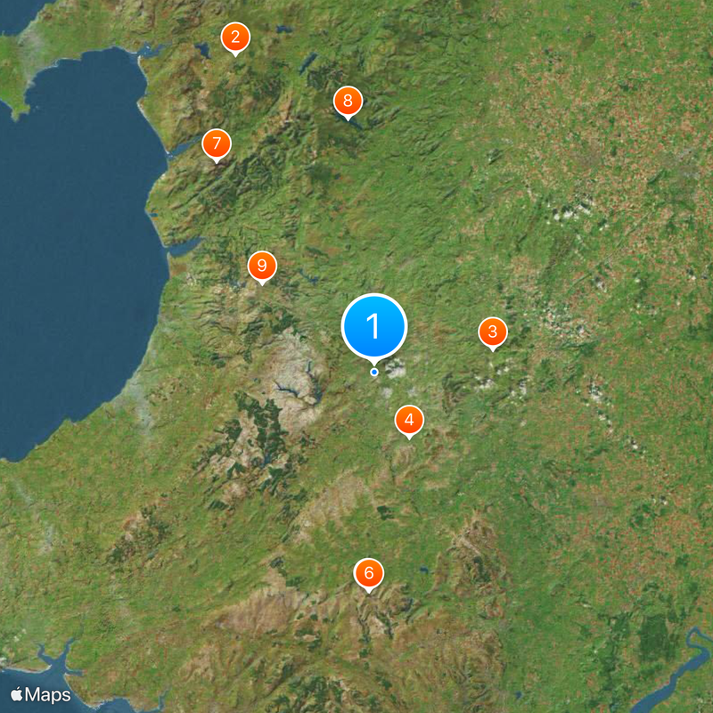
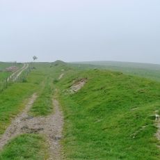
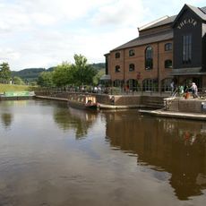
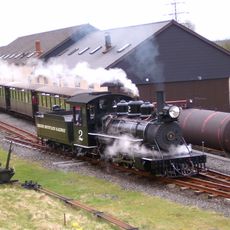
The main towns of Llandrindod Wells, Newtown, Brecon and Welshpool lie on rail lines and roads that connect the area with the rest of Wales and England. Many walking trails and mountain roads cross the region, though some routes may close in winter due to snow and ice.
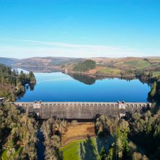
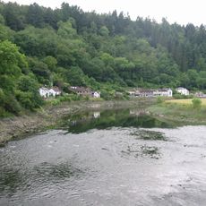
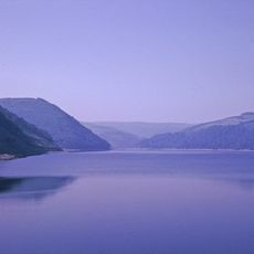
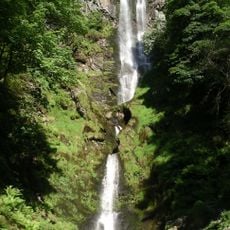
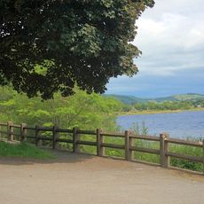
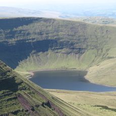
The landscape is shaped by numerous lakes and waterfalls, including the man-made reservoir Lake Vyrnwy and the waterfall Pistyll Rhaeadr. These water features draw walkers and nature lovers, who are often surprised by the quiet shores and paths through wooded valleys.
The community of curious travelers
AroundUs brings together thousands of curated places, local tips, and hidden gems, enriched daily by 60,000 contributors worldwide.