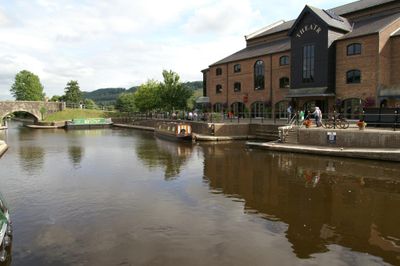
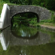
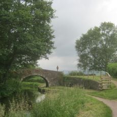
Monmouthshire and Brecon Canal, 35-mile canal in Usk Valley, Wales
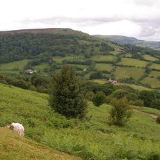
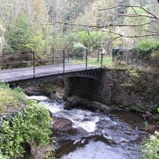
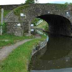
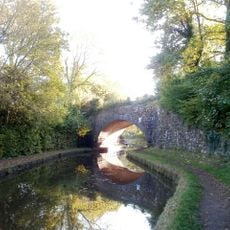
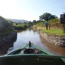
The canal is a 35-mile waterway stretching through the Usk Valley in Wales, linking two basin terminals and flowing past numerous locks that manage water levels. Its route winds through rolling terrain within a national park, creating a continuous passage for small boats and recreational traffic.
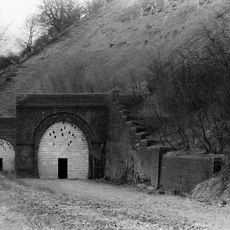
The waterway was built in the late 1700s to move coal, lime, and goods from South Wales industrial areas toward broader markets. Two separate routes were eventually joined together, creating a unified transport corridor that served the region's growing economy.
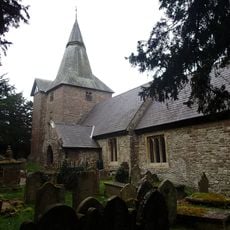
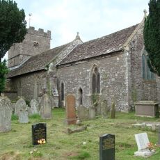
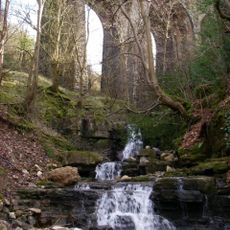
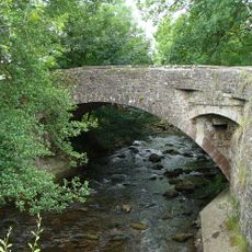
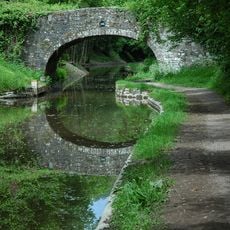
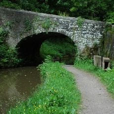
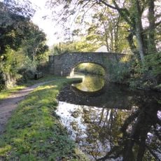
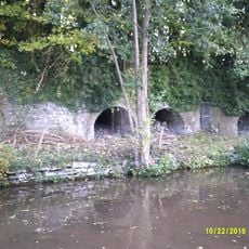
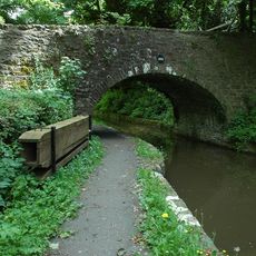
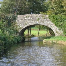
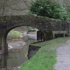
The waterway takes its name from the two counties it once connected, and today serves as a meeting place for walkers and boaters exploring the valley. Along its banks, you see remnants of old mills and industrial sites that remind visitors of the working landscape it once supported.
The water flows gently and suits newcomers well, especially along sections with fewer locks where navigation becomes easier and less demanding. Spring through autumn offers the most pleasant conditions for visiting, when weather is mild and boat rentals and facilities operate at full capacity.
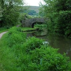
A stretch of roughly 23 miles contains almost no locks, making it one of Britain's longest straightforward passages for small boats. This section draws visitors seeking a relaxing journey without the repeated stops and complex maneuvers that locks require elsewhere.
Location: Torfaen
GPS coordinates: 51.82410,-3.09863
Latest update: December 7, 2025 19:25
Clydach Gorge
2.1 km
Llanwenarth House
1.6 km
Clydach House
1.2 km
Gilwern Hill, Monmouthshire
1.9 km
Smart's Bridge
2 km
Parish Church of St Elli
1.2 km
Llanwenarth Baptist Chapel
2.4 km
St Peter's Church
3.2 km
Ty-uchaf Farmhouse Including Yard Wall And Stile Between House And Barn Range
1.8 km
Nant Dyar Railway Viaduct
2.1 km
Churchyard Cross to the south of Parish Church of St Peter
3.2 km
Bridge 102 over the Brecknock & Abergavenny Canal
985 m
Bridge 105 over the Brecknock & Abergavenny Canal including Iron Sign
522 m
Llangenny Bridge
3.5 km
Govilon Yard Bridge
2.9 km
Bridge 106 over the Brecknock & Abergavenny Canal including Iron Sign
953 m
Three Arch Viaduct of former Merthyr, Tredegar and Abergavenny Railway
2.7 km
Bridge 107 over the Brecknock & Abergavenny Canal including Iron Sign
1.5 km
Llanwenarth Bridge
1.9 km
Limekilns at Auckland House
279 m
Dark Bridge (Canal Bridge No 109)
2.9 km
Pen-pedair-heol Bridge (Canal Bridge No 110)
3.2 km
Bridge 101 over the Brecknock & Abergavenny Canal
1.3 km
Quarry Bridge
3.2 km
Providence Baptist Chapel
1.8 km
Railway Viaduct over Canal to SE of Govilon
2.6 km
Stop Lock, Monmouthshire and Brecon Canal
3.1 km
Lych Gate at church of St Cenau, Llangenny
3.6 kmVisited this place? Tap the stars to rate it and share your experience / photos with the community! Try now! You can cancel it anytime.
Discover hidden gems everywhere you go!
From secret cafés to breathtaking viewpoints, skip the crowded tourist spots and find places that match your style. Our app makes it easy with voice search, smart filtering, route optimization, and insider tips from travelers worldwide. Download now for the complete mobile experience.
A unique approach to discovering new places❞
— Le Figaro
All the places worth exploring❞
— France Info
A tailor-made excursion in just a few clicks❞
— 20 Minutes