Gilwern Hill, Monmouthshire

Log in to your account

AroundUs is a community-driven map of interesting places, built by curious explorers like you. It grows with every review, story, and photo you share.
Connect to save your favorite spots, contribute locations, and create personalized routes.
Continue with Google
Continue with Apple
Continue with X
Continue with Facebook
Continue with email
By continuing, you accept our Terms and Conditions and our Privacy Policy
Create an account

Gilwern Hill, Monmouthshire

Add to collection
Map
Suggest a change
Share

Gilwern Hill, Monmouthshire, Mountain summit in Monmouthshire, Wales.

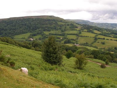
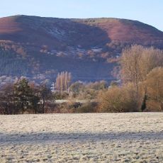
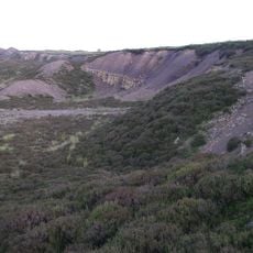
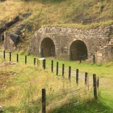
Gilwern Hill is a mountain summit in Monmouthshire, Wales, rising to 441 meters within the Brecon Beacons National Park. The hilltop displays distinct rock layers including the Farewell Rock and Twrch Sandstone resting above extensive Carboniferous Limestone deposits that form its base.

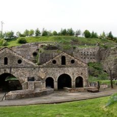
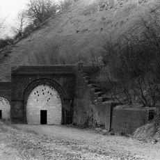
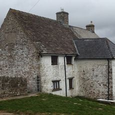
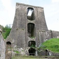
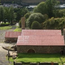
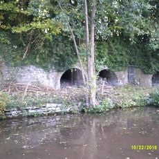
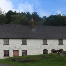
Limestone quarries surrounding the hill were intensively worked during the industrial development of South Wales in the 19th century. These excavations extracted stone for the region's iron and steel production, fundamentally shaping the local economy.

The summit is protected as a scientific interest site and preserves rock layers from the Carboniferous period that reveal Earth's deep history. Visitors can observe these stone formations directly on the slopes and understand how the landscape developed over millions of years.

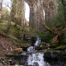
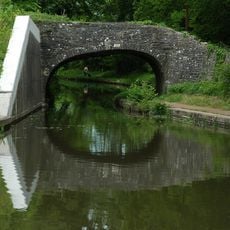
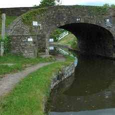
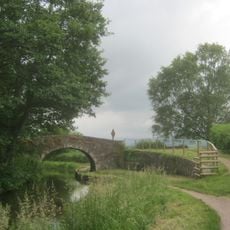
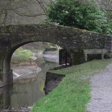
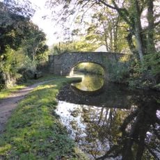
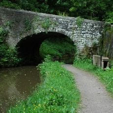
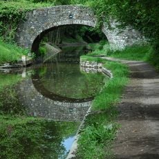
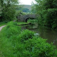
Multiple public footpaths and a restricted byway provide access to the northern and eastern slopes, while a minor road circles the southern and western edges. Wear sturdy footwear and check conditions as weather can change quickly at the summit.

The hilltop contains a particular geological sequence where the Farewell Rock and Twrch Sandstone rest above massive limestone beds, and this specific arrangement tells the geological story of the area. This layering allows visitors to read Earth's history literally written in the stone formations.

Elevation above the sea: 441 m

GPS coordinates: 51.80727,-3.09689

Latest update: December 14, 2025 20:04

Photos
Around this place
The Blorenge
United Kingdom

The Blorenge

2.6 km
Monmouthshire and Brecon Canal
United Kingdom

Monmouthshire and Brecon Canal

1.9 km
Blaenavon Iron Works
United Kingdom

Blaenavon Iron Works

3.4 km
Clydach Gorge
United Kingdom

Clydach Gorge

1.8 km
Llanwenarth House
United Kingdom

Llanwenarth House

1.9 km
Clydach House
United Kingdom

Clydach House

1.7 km
Smart's Bridge
United Kingdom

Smart's Bridge

1.7 km
Parish Church of St Elli
United Kingdom

Parish Church of St Elli

2.5 km
Llanwenarth Baptist Chapel
United Kingdom

Llanwenarth Baptist Chapel

2.5 km
Ty-uchaf Farmhouse Including Yard Wall And Stile Between House And Barn Range
United Kingdom

Ty-uchaf Farmhouse Including Yard Wall And Stile Between House And Barn Range

3 km
Blaen Pig quarries
United Kingdom

Blaen Pig quarries

2.3 km
Nant Dyar Railway Viaduct
United Kingdom

Nant Dyar Railway Viaduct

1.2 km
Balance Tower, Blaenavon Ironworks
United Kingdom

Balance Tower, Blaenavon Ironworks

3.4 km
Bridge 102 over the Brecknock & Abergavenny Canal
United Kingdom

Bridge 102 over the Brecknock & Abergavenny Canal

2.1 km
Govilon Yard Bridge
United Kingdom

Govilon Yard Bridge

2.9 km
Bridge 105 over the Brecknock & Abergavenny Canal including Iron Sign
United Kingdom

Bridge 105 over the Brecknock & Abergavenny Canal including Iron Sign

2.4 km
Quarry Bridge
United Kingdom

Quarry Bridge

3.2 km
Llanwenarth Bridge
United Kingdom

Llanwenarth Bridge

2.1 km
Three Arch Viaduct of former Merthyr, Tredegar and Abergavenny Railway
United Kingdom

Three Arch Viaduct of former Merthyr, Tredegar and Abergavenny Railway

1.9 km
Bridge 107 over the Brecknock & Abergavenny Canal including Iron Sign
United Kingdom

Bridge 107 over the Brecknock & Abergavenny Canal including Iron Sign

3.1 km
Cast House And Foundry, Blaenavon Ironworks
United Kingdom

Cast House And Foundry, Blaenavon Ironworks

3.4 km
Limekilns at Auckland House
United Kingdom

Limekilns at Auckland House

2.1 km
Bridge 106 over the Brecknock & Abergavenny Canal including Iron Sign
United Kingdom

Bridge 106 over the Brecknock & Abergavenny Canal including Iron Sign

2.7 km
Bridge 101 over the Brecknock & Abergavenny Canal
United Kingdom

Bridge 101 over the Brecknock & Abergavenny Canal

2.1 km
Blast Furnaces, Blaenavon Ironworks
United Kingdom

Blast Furnaces, Blaenavon Ironworks

3.4 km
Railway Viaduct over Canal to SE of Govilon
United Kingdom

Railway Viaduct over Canal to SE of Govilon

2.6 km
Stack Square, Blaenavon Ironworks
United Kingdom

Stack Square, Blaenavon Ironworks

3.5 km
Bethel Baptist Church
United Kingdom

Bethel Baptist Church

3.6 km
Show the full map
Reviews

Visited this place? Tap the stars to rate it and share your experience / photos with the community! Try now! You can cancel it anytime.

« Gilwern Hill, Monmouthshire - Mountain summit in Monmouthshire, Wales » is provided by Around Us (aroundus.com). Images and texts are derived from Wikimedia project under a Creative Commons license. You are allowed to copy, distribute, and modify copies of this page, under the conditions set by the license, as long as this note is clearly visible.

Discover hidden gems everywhere you go!

From secret cafés to breathtaking viewpoints, skip the crowded tourist spots and find places that match your style. Our app makes it easy with voice search, smart filtering, route optimization, and insider tips from travelers worldwide. Download now for the complete mobile experience.

Around Us App Screenshot

A unique approach to discovering new places

Le Figaro

All the places worth exploring

France Info

A tailor-made excursion in just a few clicks

20 Minutes