The Blue Coat School
The Blue Coat School, Grammar school in Wavertree, Liverpool, England.
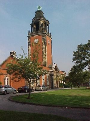
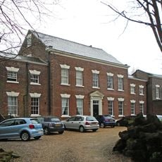
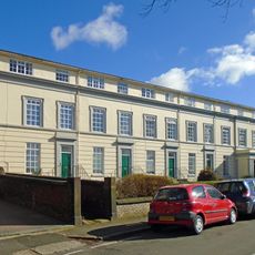
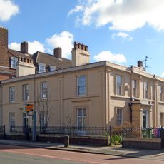
The Blue Coat School is a secondary school in the Wavertree district of Liverpool, housed in an early eighteenth-century building with formal gardens and teaching rooms. The site covers several wings and includes spaces for sciences, languages and sports, as well as a chapel and a library.
Bryan Blundell and Reverend Robert Styth founded the institution in 1708 as a charity school and boarding house for boys. Later the building moved to its current site and eventually opened to girls as well.
The school name comes from the blue uniform coats worn by students in earlier centuries, recalling its origins as a charity school. Visitors today can see the well-kept grounds where young people move between lessons.
The grounds operate during school days and public access is usually not possible during teaching hours. Visitors can view the exterior and gardens from the street, especially on quieter days outside peak times.
The institution holds both academy and grammar school status, a rather rare combination in the English education system. Many former students return for anniversaries to visit the chapel and old classrooms.
Location: Liverpool
Inception: 1708
Founders: Bryan Blundell
Address: The Blue Coat School, Church Road, Wavertree, Liverpool, Merseyside, L15 9EE
Phone: +441517331407
Website: http://bluecoatschoolliverpool.org.uk
GPS coordinates: 53.39300,-2.91600
Latest update: December 5, 2025 22:31
12 Arnold Grove
672 m
St Barnabas' Church, Mossley Hill
495 m
Wavertree Playground
388 m
Picton Clock Tower
578 m
Holy Trinity Church, Wavertree
165 m
Wavertree Lockup
602 m
Liverpool Reform Synagogue
465 m
Wavertree Town Hall
647 m
9 Newcastle Road
267 m
Chapel Of Bluecoat School
78 m
Abbey Cinerama Theatre
526 m
Holy Trinity, Wavertree war memorial
203 m
30 And 32, High Street
698 m
Lamb Hotel
613 m
Wavertree Rose Garden
708 m
28, High Street
705 m
19-25, Prince Alfred Road
536 m
Progressive Synagogue
393 m
9,11,13, Prince Alfred Road
576 m
27-35, Prince Alfred Road
501 m
38, 40 And 42, High Street
680 m
34, High Street
693 m
98-102 and 102A High Street
582 m
26, High Street
712 m
Thornhill
598 m
Mossfield
696 m
15 And 17, Prince Alfred Road
562 m
8 And 10, Childwall Road, Liverpool
604 mVisited this place? Tap the stars to rate it and share your experience / photos with the community! Try now! You can cancel it anytime.
Discover hidden gems everywhere you go!
From secret cafés to breathtaking viewpoints, skip the crowded tourist spots and find places that match your style. Our app makes it easy with voice search, smart filtering, route optimization, and insider tips from travelers worldwide. Download now for the complete mobile experience.
A unique approach to discovering new places❞
— Le Figaro
All the places worth exploring❞
— France Info
A tailor-made excursion in just a few clicks❞
— 20 Minutes