
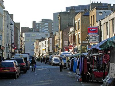
Lower Marsh, street in Waterloo, London, UK
Location: London Borough of Lambeth
GPS coordinates: 51.50090,-0.11270
Latest update: March 17, 2025 10:42
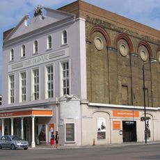
The Old Vic
265 m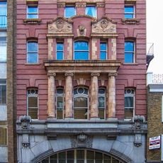
London Necropolis railway station
257 m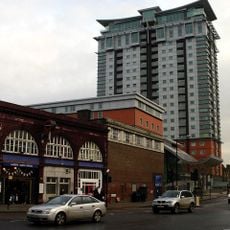
Century House, London
299 m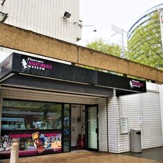
Florence Nightingale Museum
339 m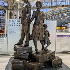
National Windrush Monument
294 m
Union Jack Club
327 m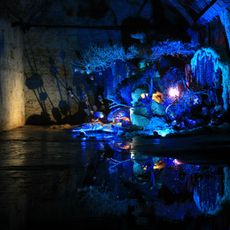
The Old Vic Tunnels
259 m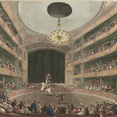
Astley's Amphitheatre
396 m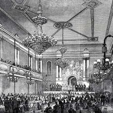
Canterbury Music Hall
206 m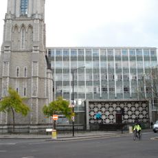
Christ Church, Lambeth
284 m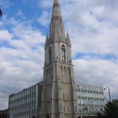
Lincoln Memorial Tower
274 m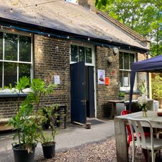
IKLECTIK
378 m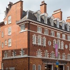
Former Waterloo Road Fire Station
224 m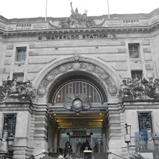
Waterloo Station (Victory Arch)
328 m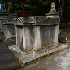
Edwards Family Tomb In Churchyard To North-West Portico Of Church Of St John With All Saints
405 m
South of the River
291 m
Royal National Theatre Studio
304 m
5, Whichcote Street Se1
368 m
Laurie Terrace And Railings
390 m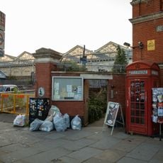
K2 Telephone Kiosk, Outside Station Gates
188 m
36 And 38, Hercules Road Se1
375 m
28,30,32 And 34, Hercules Road Se1
353 m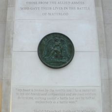
Memorial to the Battle of Waterloo
273 m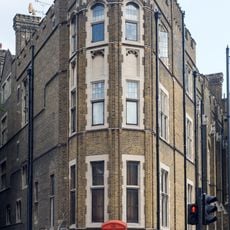
K2 Telephone Kiosk At Junction With St Georges Road
385 m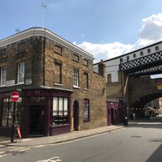
22, Cornwall Road Se1
403 m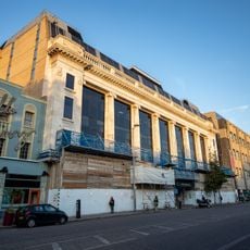
Facade Of Number 133 To 155
276 m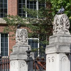
Forecourt Walls To Church Of St John With All Saints
394 m
Wall on South Side, and Wall, Gate Piers and Gate on East Side, of St John with All Saints' Churchyard
388 mReviews
Visited this place? Tap the stars to rate it and share your experience / photos with the community! Try now! You can cancel it anytime.
Discover hidden gems everywhere you go!
From secret cafés to breathtaking viewpoints, skip the crowded tourist spots and find places that match your style. Our app makes it easy with voice search, smart filtering, route optimization, and insider tips from travelers worldwide. Download now for the complete mobile experience.

A unique approach to discovering new places❞
— Le Figaro
All the places worth exploring❞
— France Info
A tailor-made excursion in just a few clicks❞
— 20 Minutes