
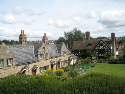
Ludford, village and civil parish in Shropshire, UK
Location: Shropshire
Shares border with: Ludlow
GPS coordinates: 52.36100,-2.71870
Latest update: March 8, 2025 09:44
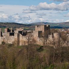
Ludlow Castle
748 m
St Laurence's Church, Ludlow
813 m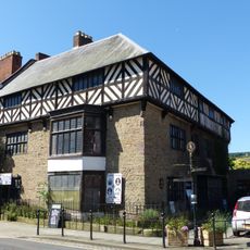
Castle Lodge
700 m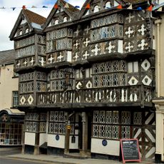
Feathers Hotel
859 m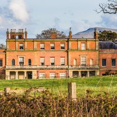
Oakley Park
3.5 km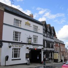
The Bull Hotel, Ludlow
846 m
5, Corve Street
903 m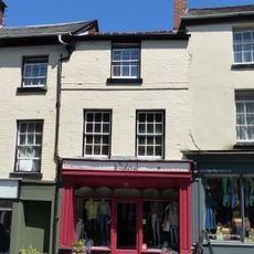
21, Bull Ring
877 m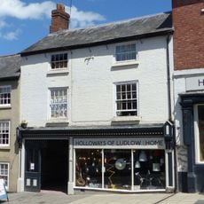
140, Corve Street
979 m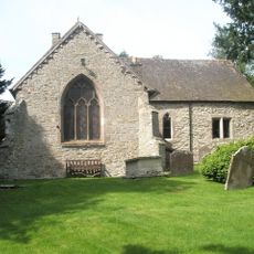
Church of St Giles
246 m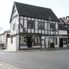
The Tolsey and attached railings
786 m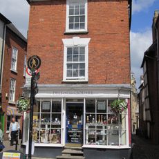
4, Church Street
741 m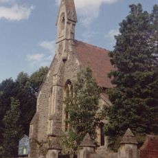
St John's
1.3 km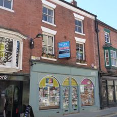
10, High Street
721 m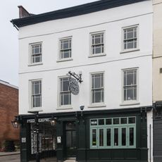
12 Castle Street
750 m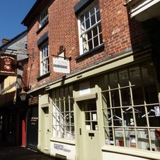
9, Church Street
754 m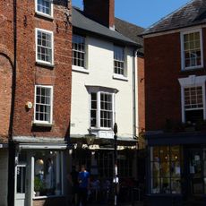
5, Church Street
752 m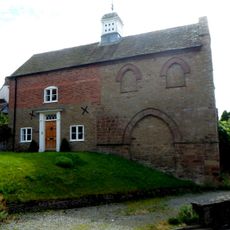
Chapel House
611 m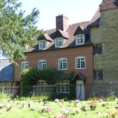
1 and 2, Church Walk
842 m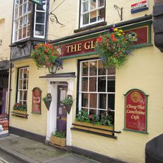
Globe Inn
706 m
10, Church Street
757 m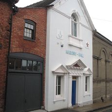
Masonic Hall
650 m
6, Castle Street
754 m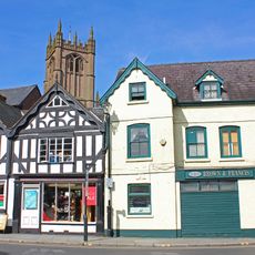
47, 48 and 49, Bull Ring
801 m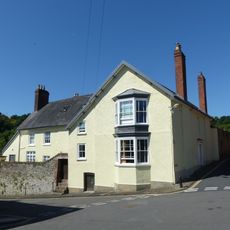
Maryvale and Mill Cottage and attached wall
458 m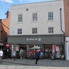
1, Castle Street
703 m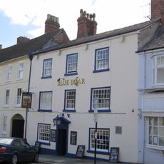
Blue Boar Inn
658 m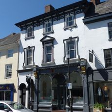
58, Broad Street
690 mVisited this place? Tap the stars to rate it and share your experience / photos with the community! Try now! You can cancel it anytime.
Discover hidden gems everywhere you go!
From secret cafés to breathtaking viewpoints, skip the crowded tourist spots and find places that match your style. Our app makes it easy with voice search, smart filtering, route optimization, and insider tips from travelers worldwide. Download now for the complete mobile experience.

A unique approach to discovering new places❞
— Le Figaro
All the places worth exploring❞
— France Info
A tailor-made excursion in just a few clicks❞
— 20 Minutes