Longovicium, Roman archaeological site in Lanchester, England
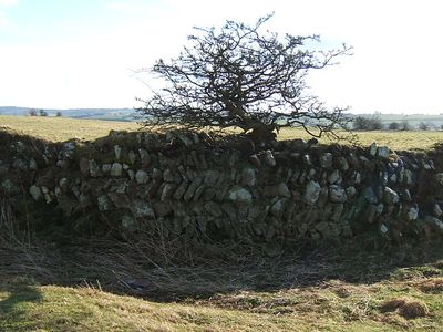
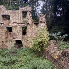
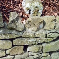
Longovicium is a Roman fort in Lanchester, England, built along the ancient road known as Dere Street. Some sections of the original stone walls are still visible today at certain points around the site.
The fort was built around 150 AD as part of the Roman defense network in northern Britain. It remained in use for roughly 250 years before being abandoned as Roman control of the region came to an end.
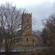
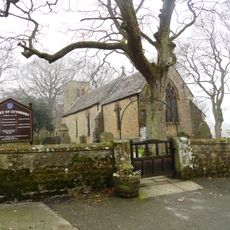
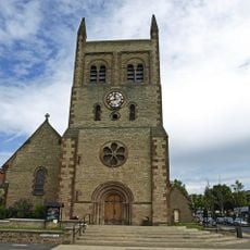
The name Longovicium is thought to come from a Celtic word meaning something like "place by the long lake." Visitors who stop at All Saints Church nearby can see a Roman altar that has been kept there since the medieval period.
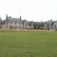
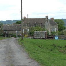
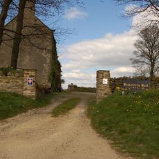
The site is on private land and cannot be visited directly, but some of the walls are visible from the roads that run alongside the area. Viewing from the roadside is the most practical way to get a sense of what remains.
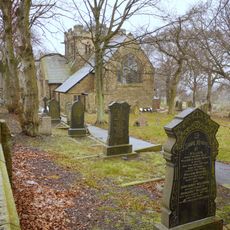
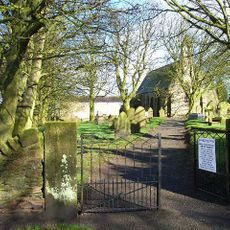
Stones from the fort were reused in the 12th century to build All Saints Church in Lanchester, making the church itself a kind of continuation of the site. Inside the church, a Roman altar from the fort has been kept and can still be seen today.
The community of curious travelers
AroundUs brings together thousands of curated places, local tips, and hidden gems, enriched daily by 60,000 contributors worldwide.