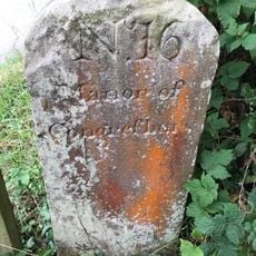
Lulsgate Plateau, Limestone plateau in North Somerset, England.
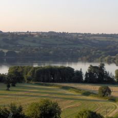
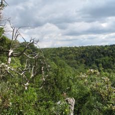
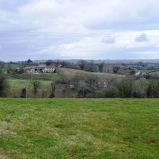
Lulsgate Plateau is a limestone formation in North Somerset that rises about 600 feet (180 meters) above sea level and forms an outlier of the Mendip Hills. Deep valleys such as Brockley and Goblin Combes cut into its western edges, creating sharp natural divisions across the landscape.
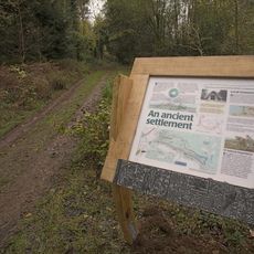
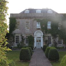
The plateau has been inhabited since prehistoric times, as shown by archaeological discoveries revealing continuous human presence across different periods. This long settlement history makes it an important location for understanding regional development over millennia.
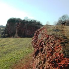
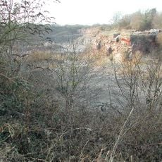
The plateau maintains designation as a Site of Special Scientific Interest, spanning 52 hectares of protected land with distinct biological characteristics.
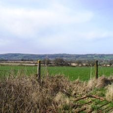
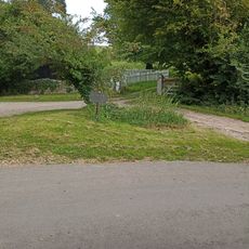
The location is easily reached via a major airport and the A38 road that crosses the plateau summit. The terrain is relatively open, making it possible to explore on foot, though airport operations restrict access to large portions of the landscape.
The limestone formation creates a natural boundary between Bristol's urban growth and the wetlands of the North Somerset Levels. This geological division has shaped where people chose to build and how the region expanded over time.
The community of curious travelers
AroundUs brings together thousands of curated places, local tips, and hidden gems, enriched daily by 60,000 contributors worldwide.