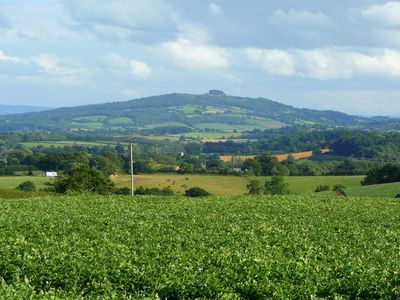
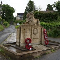
May Hill, Protected hill in Longhope, England
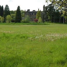
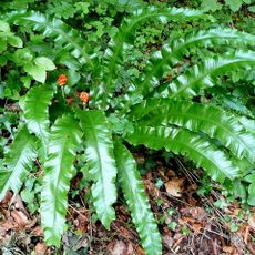
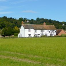
May Hill is a hill in Longhope, England, with mixed woodland and open grassland supporting a variety of plant and animal species throughout the year. The elevation offers views across the surrounding countryside and makes it a notable feature of the local landscape.
The hill formed millions of years ago through geological processes that shaped the landscape visible today. This ancient structure creates the specific conditions found across the site now.
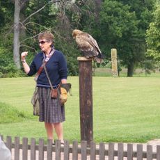
The hill draws visitors interested in observing wildlife and learning about the natural environment through informal exploration. People come here to experience the woodland and grassland habitats in their everyday forms.
Multiple walking routes allow exploration of the site with parking available at main access points. Sturdy footwear is recommended as paths can vary in condition, particularly during wetter months.
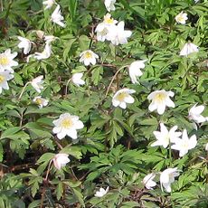
The site protects rare plant species that thrive under specific conservation management and strict regulations. These plants are uncommon in the wider region, making the location valuable for botanical study.
Location: Longhope
Elevation above the sea: 296 m
GPS coordinates: 51.89076,-2.44387
Latest update: December 10, 2025 15:48
International Centre for Birds of Prey
2.7 km
Blaisdon Hall
4.4 km
Hobbs Quarry SSSI, Longhope
1.9 km
Stenders Quarry SSSI
4.7 km
Old Town Hall
4.1 km
Church of St Michael and All Angels
4.3 km
Church of St Michael and All Angels
4.3 km
Church of St John the Baptist
3.8 km
Church of All Saints
2 km
The Crown Inn
3.4 km
Church of St John the Baptist
2.6 km
Church of St Michael and All Angels
4.7 km
Church of St John the Baptist
2.4 km
Church of St Lawrence
4.2 km
Red Lion
3.3 km
Bradfords Cottage
4.6 km
Upper Roxbush
1.8 km
Huntley War Memorial
3.5 km
Taynton War Memorial
4.2 km
Blaisdon War Memorial
4.5 km
Milestone Against Garden Wall Of Hopebrook
1.8 km
Longhope War Memorial at Junction with Monmouth Road
2.8 km
Stanley House
4.2 km
Cross Base
1.4 km
Base To Cross, About 7 Metres North Of Junction With Main Road
3.4 km
Milestone, About 41 Metres East Of Springfield House
4.6 km
Milestone, About 56 Metres West Of Barn, Huntley Court
3.1 km
Milestone, Gloucester Road, jct of B4224
4.4 kmVisited this place? Tap the stars to rate it and share your experience / photos with the community! Try now! You can cancel it anytime.
Discover hidden gems everywhere you go!
From secret cafés to breathtaking viewpoints, skip the crowded tourist spots and find places that match your style. Our app makes it easy with voice search, smart filtering, route optimization, and insider tips from travelers worldwide. Download now for the complete mobile experience.
A unique approach to discovering new places❞
— Le Figaro
All the places worth exploring❞
— France Info
A tailor-made excursion in just a few clicks❞
— 20 Minutes